What is recorded here
In level scrubland, recently planted with trees. A roughly circular mound (8m E-W; 7.5m N-S; H 0.2m) of heat-shattered stones and charcoal-enriched soil. A NW-SE drain cuts across the centre of the mound exposing the mound material in section. Two possible burnt mounds (CO032-239002-, CO032-239003-) lie c. 45m to the SSE and ENE, respectively.
The above description is derived from 'The Archaeological Inventory of County Cork. Volume 5' (Dublin: Stationery Office, 2009).
Date of upload: 22 December 2009
Burnt mound, likely dating to the Neolithic or Bronze Age. Such features are commonly associated with ritual or industrial activities, such as heat-treated stone use in cooking or hide-scalding.
The monument record does not grant public access. Check the route and ask the landowner before entering private land.
- What survives
- Recorded monument
Places near here
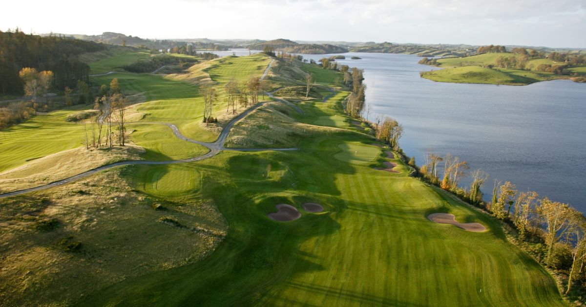 Fulacht fia in MountnorthFulacht fia · 856 yd
 Church in Dromdowney LowerChurch · 1524 yd
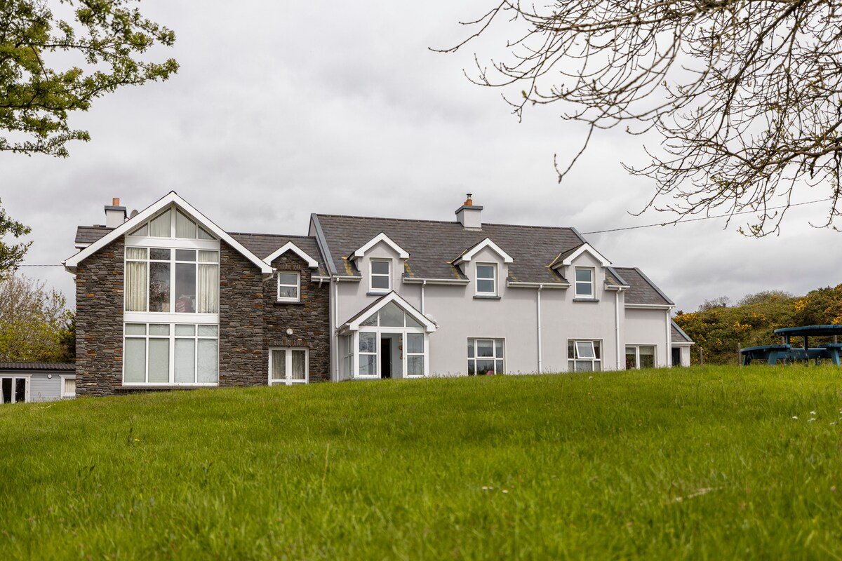 Dromsligo HouseCountry house · 1650 yd
 Castle (Remains of)Castle, unclassified · 1.3 mi
 CastleBawn · 1.9 mi
 Dromaneen CastleHeritage attraction · 2.5 mi
 In loving memory of Elvis O'DonoghueMemorial · 2.5 mi
 Mallow River TrailVisitor information · 2.6 mi
 Graveyard in Ballygiblin (duhallow By.)Graveyard · 4.4 mi
 Lady's WellSpring · 5.3 mi
 European YewEuropean Yew · 6.0 mi