What is recorded here
On a S-facing slope at the edge of a mixed species woodland. This possible burnt mound was discovered in 2005 during the digging of a logging road (Conner 2007, 51-2). A layer (10.6m E-W; D 0.2m) of heat-shattered stones and charcoal-enriched soil is visible where the logging road has cut into sloping ground (pers. comm. Abigail Brewer).
The above description is derived from 'The Archaeological Inventory of County Cork. Volume 5' (Dublin: Stationery Office, 2009).
Date of upload: 22 December 2009
Burnt mound, likely dating to the Neolithic or Bronze Age. Its significance lies in providing evidence of ancient thermal activity, possibly related to domestic or ritual practices.
The monument record does not grant public access. Check the route and ask the landowner before entering private land.
- What survives
- Recorded monument
Places near here
 Country house in Manch EastCountry house · 357 yd
 Irish National Forestry FoundationNature reserve · 548 yd
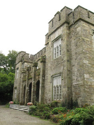 Kilcascan Castlecountry house · 958 yd
 CaveMan-made underground passage · 1.1 mi
 Fort RobertArchaeological place · 1.1 mi
 Ballynacarriga CastleCastle, tower house · 1.8 mi
 Castle RockNamed rock · 2.3 mi
 Corran HillMountain / peak · 2.7 mi
 The GlenWood · 2.9 mi
 Ballinvard CastleCastle · 3.7 mi
 Graveyard in Dunmanway NorthGraveyard · 4.3 mi
 Dunmanway Heritage CentreVisitor information · 4.6 mi