
What is recorded here
The burnt mound was situated on a SW-facing sloping grassland represented as marshy ground on OS 19th century maps; this land was reclaimed in the late 19th/early 20th century. The site was discovered in the course of archaeological monitoring of topsoil stripping in 2003 (License number 03E1370). The remains consisted of a burnt mound (54m N-W x 17m E-W; H 0.1m – 0.3m) comprising loosely compacted black-brown sandy clay with frequent inclusions of charcoal and small heat-cracked stones. The monument was covered over and preserved in situ. A second burnt mound/fulacht fia (DU026-164----) was discovered c. 95m to the SE (pers. comm. Melanie McQuade, 26 November 2014).
Compiled by: Paul Walsh
Date of upload: 28 November 2014
Burnt mound, likely dating to the Bronze Age (c. 2500–500 BCE), associated with ritual or industrial activities involving heat. Its presence indicates early human settlement and land use in the area.
The monument record does not grant public access. Check the route and ask the landowner before entering private land.
- What survives
- Recorded monument
Places near here
 Fulacht fia in LaughanstownFulacht fia · 104 yd
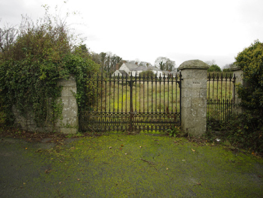 Lehaunstown Parkfarm house · 176 yd
 Habitation site in LaughanstownHabitation site · 286 yd
 Church (in Ruins)Church · 368 yd
 Puck's CastleCastle · 1594 yd
 Bawn in RathmichaelBawn · 1622 yd
 Rathmichael WalkWalking route · 1.0 mi
 Loughlinstown WoodsNature reserve · 1.1 mi
 Proclamation of the Irish RepublicMemorial · 1.2 mi
 Cabinteely Park OrchardVisitor information · 1.2 mi
 Cabinteely ParkVisitor information · 1.2 mi
 Michael DavittMemorial · 1.4 mi
Other information
Photo: Credit not shown in the picture search · Rights wording not checked; contact us if this picture should be removed