What is recorded here
In level tillage, at the base of a SSE-facing slope. A roughly circular spread (diam. c. 10m) of heat-shattered stones and charcoal-enriched soil, the edges of which are ill-defined, is visible in the ploughed field. A possible burnt spread (CO066-080----) lies c. 50m to the NE.
The above description is derived from 'The Archaeological Inventory of County Cork. Volume 5' (Dublin: Stationery Office, 2009).
Date of upload: 22 December 2009
Burnt mound in Lagile is a Bronze Age ritual or industrial site, characterized by heat-shattered stones and charcoal-rich soil. Its presence indicates prehistoric human activity related to cooking, metalworking, or ceremonial practices in the area.
The monument record does not grant public access. Check the route and ask the landowner before entering private land.
- What survives
- Recorded monument
Places near here
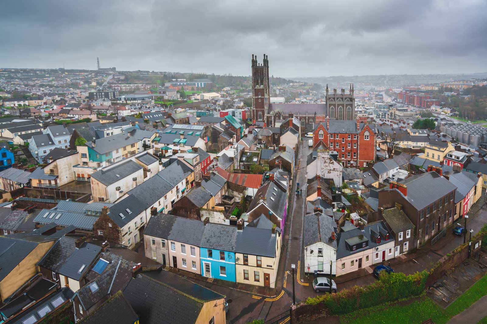 Burnt spread in LagileBurnt spread · 70 yd
 Farrells WellHoly well · 104 yd
 Catholic Church of Saint John the Baptistchurch/chapel · 265 yd
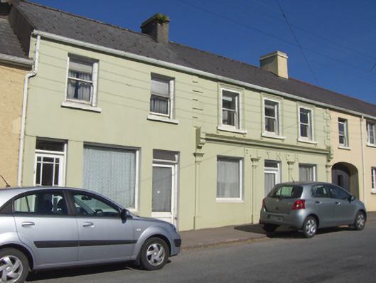 P. Lynchhouse · 307 yd
 Historical Graveyard InformationVisitor information · 787 yd
 Fainin's WellSpring · 1276 yd
 Castle (in Ruins)Castle, unclassified · 1434 yd
 Glenbower WoodForest · 1.3 mi
 Inchiquin Castle (in Ruins)Castle, Anglo-Norman masonry castle · 2.3 mi
 William Heffernan MemorialMemorial · 3.5 mi
 Mitchell's WoodWood · 3.9 mi
 Glebe IslandIslet · 4.1 mi