What is recorded here
In rough hill pasture. An irregular mound (8m E-W; 4m N-S; H 0.9m) of heat-shattered stones and charcoal-enriched soil cut through by a W-flowing stream. Most of the mound is on the S side of the stream where burnt material is exposed in section in the bank.
The above description is derived from 'The Archaeological Inventory of County Cork. Volume 5' (Dublin: Stationery Office, 2009).
Date of upload: 22 December 2009
Burnt mound, likely dating to the Neolithic or Bronze Age. Its significance lies in providing evidence of ancient thermal activity, possibly related to cooking, hide-scalding, or ritual practices.
The monument record does not grant public access. Check the route and ask the landowner before entering private land.
- What survives
- Recorded monument
Places near here
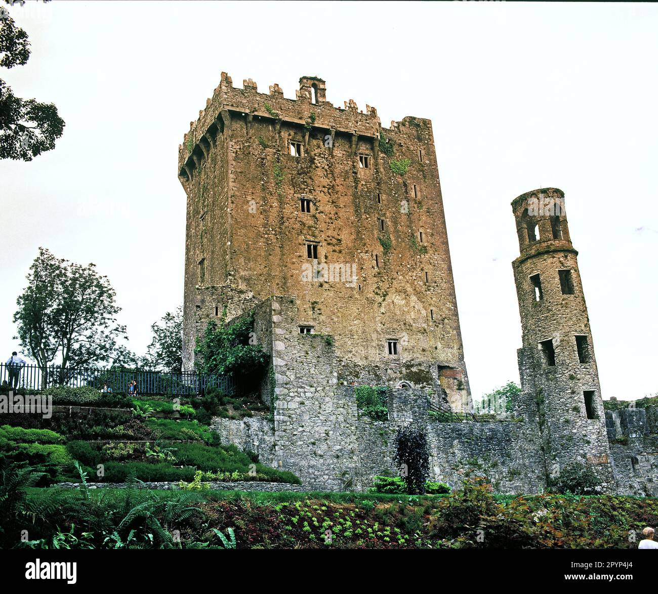 Structure in Lackavane (bear By.)Structure · 101 yd
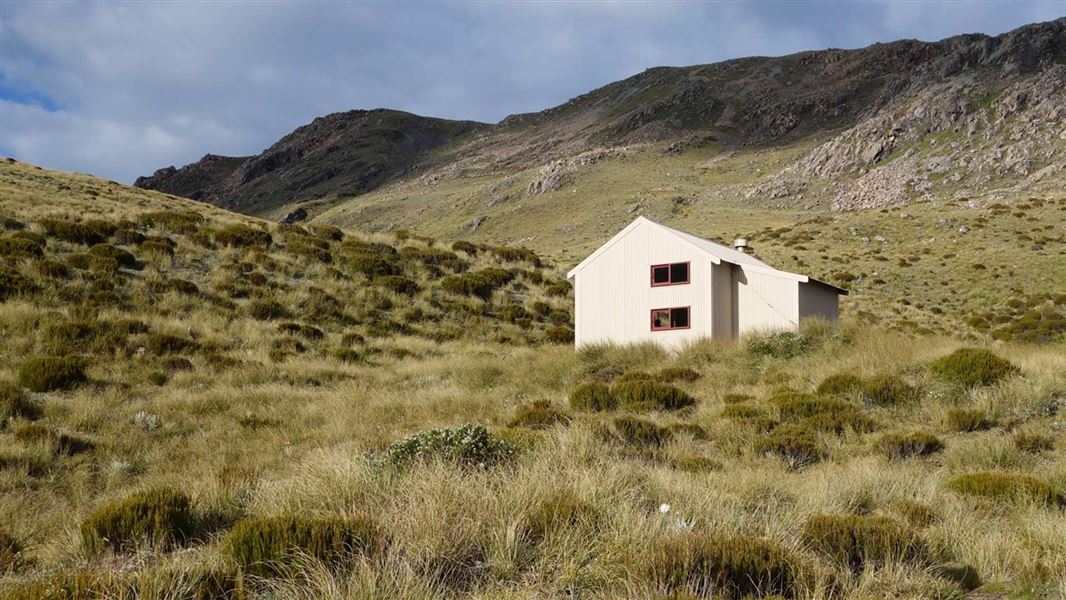 Hut site in Curraduff (bear By., Kilcaskan Par.)Hut site · 585 yd
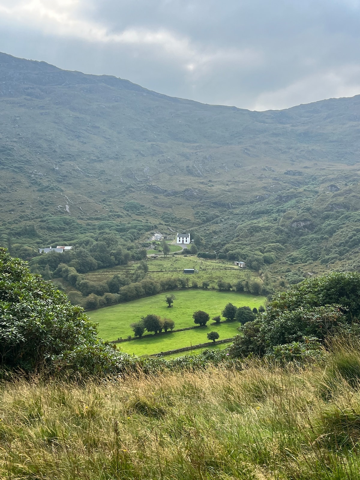 Ahnaclaha BrBridge · 878 yd
 Nareera South-West TopMountain / peak · 1058 yd
 Sugarloaf Mountain West TopMountain / peak · 1190 yd
 RoadRoad, unclassified togher · 2.0 mi
 Old Stone CottagesHeritage attraction · 2.1 mi
 Mehal HeadHeadland · 2.6 mi
 Garinish WestIslet · 2.7 mi
 Shot HeadHeadland · 3.0 mi
 IllaunageraghIslet · 3.0 mi
 Hungry Hill GalleryGallery · 3.1 mi