What is recorded here
The official Northern Ireland record identifies this as BURNT MOUND. The official map point was placed at the centre of the recorded archaeological site from the source map reference.
A burnt mound; likely dating to the Neolithic or Bronze Age. These features are commonly associated with ritual or industrial activities, such as heat-treated stone use in cooking or ceremonial contexts.
The monument record does not grant public access. Check the route and ask the landowner before entering private land.
- What survives
- Recorded monument
Places near here
 College WoodWood · 668 yd
 ENCLOSURE in Moneynoe Glebe OR ChanterhillENCLOSURE · 1145 yd
 Devenish Local Nature ReserveNature reserve · 1393 yd
 Cole's MonumentMonument · 1498 yd
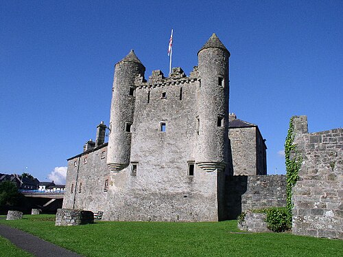 Siege of Enniskillensiege · 1564 yd
 Cherry IslandIsland · 1574 yd
 Masonic HallHall · 1651 yd
 The Butter MarketMarket · 1665 yd
 War MemorialMemorial · 1669 yd
 Remembrance Day bombingbomb attack · 1677 yd
 The Higher Bridges GalleryGallery · 1680 yd
 'cellini' G8 Fake CafeHeritage attraction · 1737 yd