What is recorded here
In tillage, on a gentle S-facing slope. A dark coloured spread in a ploughed field was noted in an aerial photograph taken in 1992 (CASAP). When inspected in 2008 the field was planted with barley and a spread (min. diam. 10m) of heat-shattered stones and charcoal-enriched soil was noted.
The above description is derived from 'The Archaeological Inventory of County Cork. Volume 5' (Dublin: Stationery Office, 2009).
Date of upload: 22 December 2009
Burnt mound in Garranejames is a prehistoric ritual or industrial site, likely dating to the Neolithic or Bronze Age. Its significance lies in providing evidence of ancient human activity, possibly related to heat-treated stone use or ceremonial practices.
The monument record does not grant public access. Check the route and ask the landowner before entering private land.
- What survives
- Recorded monument
Places near here
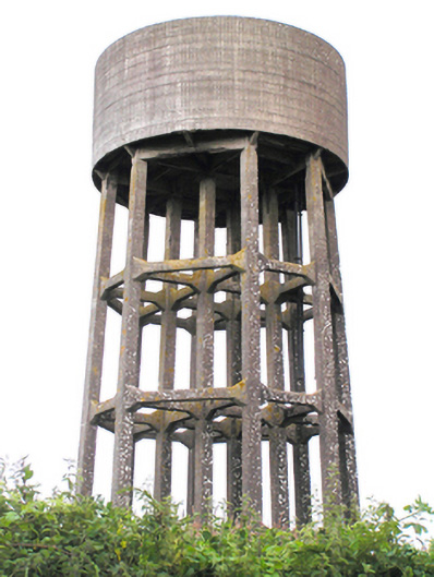 water towerwater tower · 1331 yd
 Aghadoe Housebridge · 1.1 mi
 St. Abbans Nunnery (Site of)Ecclesiastical site · 1.1 mi
 Historical Graveyard InformationVisitor information · 1.1 mi
 Fainin's WellSpring · 1.1 mi
 Constab BkBarracks · 1.2 mi
 Castle (in Ruins)Castle, unclassified · 1.2 mi
 Glenbower WoodForest · 1.3 mi
 Castle (Site of)Castle, unclassified · 2.2 mi
 William Heffernan MemorialMemorial · 2.4 mi
 Pigeon WoodWood · 2.7 mi
 N25 Picnic SitePicnic place · 3.4 mi