What is recorded here
Burnt mound in Fauleens (costello By.) is a grass-covered ridge of angular stone and dark soil beside a flowing drain in County Mayo. It lies forty metres from a second possible mound and twenty metres from a rath, forming a small cluster of ancient activity. People may have heated stones near water for cooking, cleaning or ritual, then discarded the ruined fragments where they still rest.
In pasture, adjacent to a NW flowing drain/stream. A grass-covered mound (14m NW–SE; 11m NE–SW; H 0.6m) composed of a concentration of angular stone fragments in dark soil.
There is possible burnt mound (MA063-062----) c. 40m to SE in the same field and a rath (MA063-031----) is located c. 20m to N.
Compiled by: Jane O’Shaughnessy
Date of upload: 9 December 2020
Burnt mound, likely dating to the Bronze Age. These features are commonly associated with ritual or industrial activities, such as heat-treated stone use in cooking, tanning, or ceremonial practices.
The monument record does not grant public access. Check the route and ask the landowner before entering private land.
- What survives
- Recorded monument
Places near here
 Cloonfane National Schoolschool · 907 yd
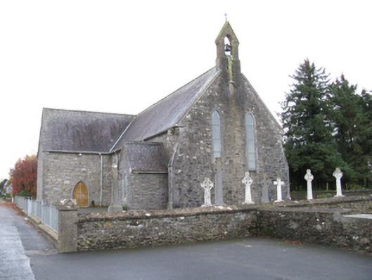 Saint James's Catholic Churchchurch/chapel · 1464 yd
 IndicatedFairy fort / earthen ringfort · 1587 yd
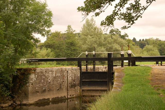 Embanked enclosureFairy fort / stone ringfort · 1.5 mi
 Old Cave Burial GroundArchaeological place · 3.1 mi
 Bockagh HillMountain / peak · 4.5 mi
 Casatle (ruins)Castle, unclassified · 5.8 mi
 Crunaun Castle (in ruins)Castle, unclassified · 6.3 mi
 East Mayo Brigade MonumentMemorial · 8.2 mi
 Crow IslandIslet · 11 mi
 Druminagh WoodForest · 11 mi
 Castle PointHeadland · 11 mi