What is recorded here
In pasture, on a SE-facing slope. An irregularly shaped spread (min. dims. 2.83m E-W; 2.32m N-S; D 0.44m) of heat-shattered stones and charcoal-enriched soil was discovered during topsoil stripping in advance of the construction of the Ballincollig-Ballineen gas pipeline and was excavated in 2000. The spread had been severely damaged by machinery prior to investigation. It extends to the S of the pipeline corridor outside the excavated area. A fulacht fia (CO109-094----) lies 1.7m to the E. (Tobin 2001; 2002h, 47-8)
The above description is derived from 'The Archaeological Inventory of County Cork. Volume 5' (Dublin: Stationery Office, 2009).
Date of upload: 22 December 2009
Burnt mound in Dromavane is a Neolithic ritual or industrial site, dating to approximately 4000–2500 BCE. Its significance lies in providing evidence of early human activity, possibly related to ceremonial practices or heat-dependent processes such as hide or grain treatment.
The monument record does not grant public access. Check the route and ask the landowner before entering private land.
- What survives
- Recorded monument
Places near here
 Killowen Burial Gd (Disused)Burial ground · 578 yd
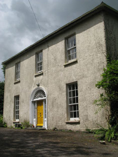 Mawbeg Househouse · 896 yd
 Dromavane Househouse · 1174 yd
 Holy Well or Murragh WellHoly well · 1226 yd
 Tobar MacloonaboySpring · 2.3 mi
 Towers (in Ruins)House, fortified house · 3.5 mi
 Green HillMountain / peak · 3.7 mi
 Castle DerryCastle · 3.8 mi
 The GlenWood · 3.8 mi
 Cottage Road WoodWood · 3.9 mi
 Michael Collins MemorialMemorial · 4.4 mi
 Corran HillMountain / peak · 5.1 mi