
What is recorded here
In pasture. Marked 'Killowen Grave Yd.' on OS 6-inch map (1842). Slightly raised (H 0.4m) oval area (11.5m N-S; 11m E-W) defined by overgrowth. Field fence on NNE side. No grave markers noted. Standing stone (CO109-016002-) to N of centre.
The above description is derived from the published 'Archaeological Inventory of County Cork. Volume 1: West Cork' (Dublin: Stationery Office, 1992). In certain instances the entries have been revised and updated in the light of recent research.
Date of upload/revision: 14 January 2009
Portal dolmen; likely dates to the Neolithic or early Bronze Age. Its raised oval form and associated standing stone suggest a ceremonial or funerary function, typical of megalithic traditions in Ireland.
The monument record does not grant public access. Check the route and ask the landowner before entering private land.
- What survives
- Recorded monument
Places near here
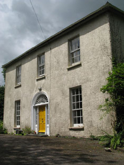 Mawbeg Househouse · 543 yd
 Mawbeg Bridgebridge · 757 yd
 Holy Well or Murragh WellHoly well · 1705 yd
 Burial ground in Mawmore WestBurial ground · 1.0 mi
 Tobar MacloonaboySpring · 2.2 mi
 Towers (in Ruins)House, fortified house · 3.5 mi
 Cottage Road WoodWood · 3.6 mi
 Castle DerryCastle · 3.9 mi
 Green HillMountain / peak · 3.9 mi
 The GlenWood · 4.0 mi
 Michael Collins MemorialMemorial · 4.5 mi
 Corran HillMountain / peak · 5.3 mi
Other information
Photo: Credit not shown in the picture search · Rights wording not checked; contact us if this picture should be removed