What is recorded here
Two small burnt mounds stood in the marshy field at Dromavally until an unauthorised road for a telephone mast rolled them away in 1999. They were not even large enough to cast a shadow, yet they held fire-shattered stone and charcoal from a much older time. The mast site was later abandoned, leaving a broken road across land that still remembers heat.
'The land in this area is relatively marshy and the enclosure holds water after prolonged periods of rain. Two low mounds were located 25m to the north of the enclosure [KE038-131---] and these were destroyed by the construction of an unauthorised access road to a O2 telecommunications mast site in 1999 (since abandoned). Archaeological sieving of the material excavated for the access road clearly indicates that these mounds contained burnt and fire shattered stone as well as charcoal. The larger more westerly mound (KE038-132----) measured 4.3m by 3.3m and was 0.31m in height, the smaller more easterly mound (KE038-133----) measured 3.1m by 3m and was only 0.22m in height. A distinct trough area was not visible in either mound.'
Description from ‘The Prehistoric Settlement of the Lee Valley, Tralee, Co. Kerry; A Landscape Perspective’ by Michael Connolly. PhD Thesis UCC 2008
Date of upload: 22 June 2012
Burnt mound in Dromavally is a Neolithic ritual or industrial site, dating to approximately 4000–2500 BCE. Its significance lies in providing evidence of early human activity, possibly related to ceremonial practices or heat-treated stone working in a wetland environment.
The monument record does not grant public access. Check the route and ask the landowner before entering private land.
- What survives
- Recorded monument
Places near here
 Enclosure in Gortbrack EastEnclosure · 1396 yd
 Enclosure in BallycartyEnclosure · 1.1 mi
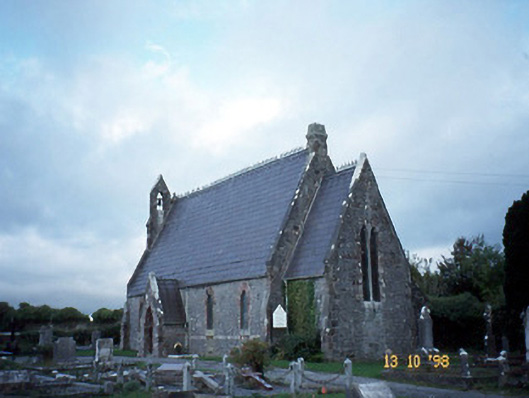 Ballyseedy Churchchurch/chapel · 1.2 mi
 Ballyseedy Church (in ruins)Church · 1.2 mi
 Monument WoodWood · 1.3 mi
 IndicatedCastle, unclassified · 1.4 mi
 Common AlderCommon Alder · 1.4 mi
 Bealagrellagh CastleCastle · 1.5 mi
 Scotia's GraveArchaeological place · 2.4 mi
 PoulatouirtCave · 2.8 mi
 Civil War MemorialMemorial · 2.8 mi
 Knockmichael MountainMountain / peak · 2.9 mi