What is recorded here
In rough pasture, close to the E boundary of a field, located on slightly elevated ground on the E margins of an expanse of lowlying wet, boggy rush-covered land. This burnt mound appears as a low oval or oblong grass-covered rise (15m N–S; 13m E–W to field wall; H 0.6-0.7m at W), with a pronounced slope on the W half falling to an area of wet ground. The limits on the E side are not clear and appear to be truncated by a N–S field wall bordering a modern road. The mound is composed of a concentration of angular sandstone fragments in black, charcoal-rich soil.
Compiled by: Jane O'Shaughnessy
Date of upload: 8 February 2012
Burnt mound, likely dating to the Neolithic or early Bronze Age. These features are commonly associated with domestic or ritual activity, such as heat-treated stone use in cooking or ceremonial contexts.
The monument record does not grant public access. Check the route and ask the landowner before entering private land.
- What survives
- Recorded monument
Places near here
 Enclosure in DooncastleEnclosure · 555 yd
 Enclosure in DoonEnclosure · 612 yd
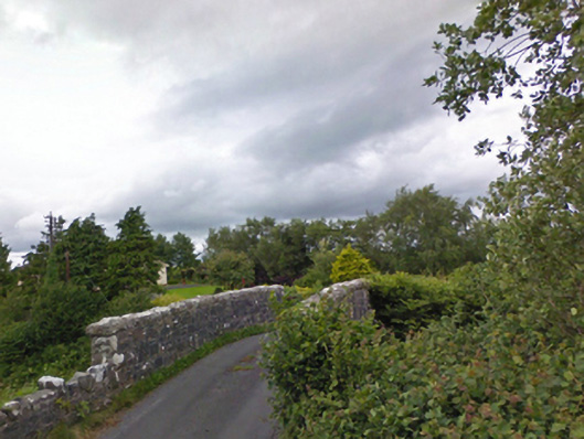 bridgebridge · 1049 yd
 KilleenagalliaghChurch · 1.2 mi
 Carney's Cottage 1863Memorial · 2.4 mi
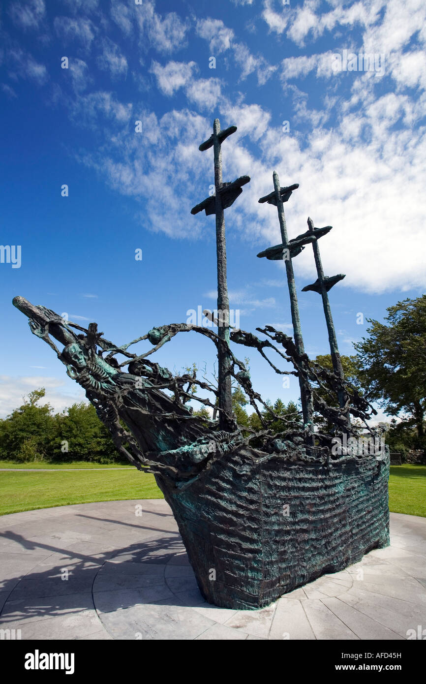 Famine MemorialMemorial · 2.5 mi
 BaldcypressBaldcypress · 3.4 mi
 Pirate QueenHeritage attraction · 3.5 mi
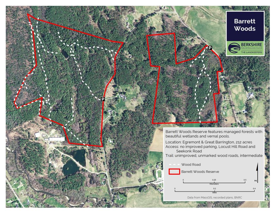 Barrett's WoodWood · 4.0 mi
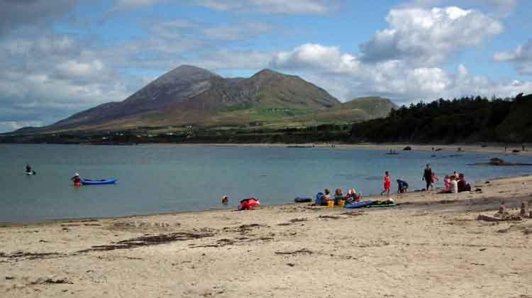 Garvillaun PointHeadland · 4.1 mi
 Barrett's HillMountain / peak · 4.1 mi
 Clew Bay Heritage CentreMuseum · 4.1 mi