
What is recorded here
Listed in the SMR (1991) and RMP (1996) as an enclosure based on features visible in an aerial photograph (OS 6 9477 -8; Roll 222, pr. 23). No remains visible at ground level.
Compiled by: Jane O'Shaughnessy
Date of upload: 02 November 2011
A local fairy fort (ringfort/rath); wider significance not recorded.
The monument record does not grant public access. Check the route and ask the landowner before entering private land.
- What survives
- Recorded monument
Places near here
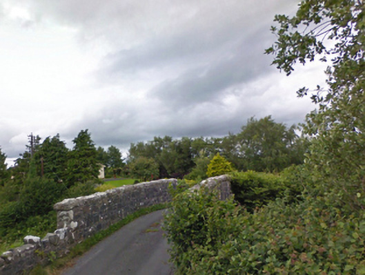 bridgebridge · 950 yd
 Enclosure in DoonEnclosure · 1167 yd
 IndicatedEnclosure · 1234 yd
 KilleenagalliaghChurch · 1492 yd
 Carney's Cottage 1863Memorial · 2.1 mi
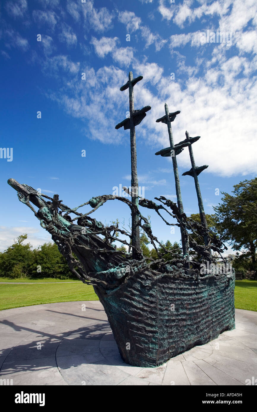 Famine MemorialMemorial · 2.2 mi
 BaldcypressBaldcypress · 3.2 mi
 Pirate QueenHeritage attraction · 3.3 mi
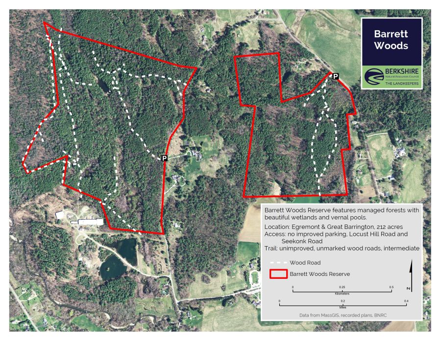 Barrett's WoodWood · 3.9 mi
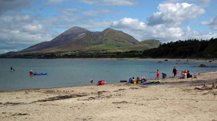 Garvillaun PointHeadland · 3.9 mi
 Clew Bay Heritage CentreMuseum · 4.0 mi
 Barrett's HillMountain / peak · 4.0 mi
Other information
Photo: Credit not shown in the picture search · Rights wording not checked; contact us if this picture should be removed