What is recorded here
Burnt mound: Identified in centre-line testing, and excavated (11E0231) as Currinah 5a in the preparatory work for the N5 Charlestown by-pass. Situated in a SE-NW valley with a small stream c. 50m to the N. A small deposit of broken and burnt stone (dims 4m x 3m; T 0.15m) sealed a peat deposit. Fulacht fia (RO008C-) is c. 30m to the SE. (Delaney 2011, 4)
Compiled by: Michael Moore
Date of upload: 16 October, 2015
Burnt mound, likely dating to the Neolithic or Early Bronze Age. Its significance lies in providing evidence of domestic or ritual activity, typical of such features in the Irish landscape.
The monument record does not grant public access. Check the route and ask the landowner before entering private land.
- What survives
- Recorded monument
Places near here
 CaveHoly well · 605 yd
 Dermot and Granias BedMegalithic structure · 1.3 mi
 Bockagh HillMountain / peak · 1.7 mi
 farm housefarm house · 2.2 mi
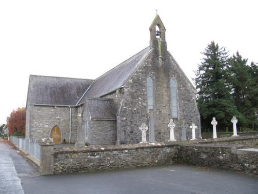 Saint James's Catholic Churchchurch/chapel · 2.2 mi
 Casatle (ruins)Castle, unclassified · 3.3 mi
 Old Cave Burial GroundArchaeological place · 3.9 mi
 CastleCastle, unclassified · 4.0 mi
 Crow IslandIslet · 8.3 mi
 Castle PointHeadland · 8.5 mi
 Rose PointHeadland · 8.6 mi
 Bawn IslandIslet · 8.6 mi