What is recorded here
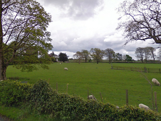
In pasture, located on a gentle E–facing slope which bordering a natural depression of wet ground fed by a spring. The ground falls to E for c. 6m towards a small pool.
This possible burnt mound is evident as a low amorphous rise, without clearly defined limits. When inspected in 2000, the top (diam. c. 5m) of the rise has been denuded by farm stock revealing a concentration of limestone fragments in soil noticeably darker than in the surrounding field.
Compiled by: Jane O'Shaughnessy
Date of upload: 9 March 2023
The monument record does not grant public access. Check the route and ask the landowner before entering private land.
- What survives
- Recorded monument
Places near here
 Chapel (ruin)Church · 293 yd
 Enclosure in BushfieldEnclosure · 735 yd
 rectory/glebe/vicarage/curate's houserectory/glebe/vicarage/curate's house · 736 yd
 IndicatedFairy fort / earthen ringfort · 790 yd
 Castle (ruin)Castle, unclassified · 2.2 mi
 Castle in ruinsCastle, unclassified · 2.6 mi
 SycamoreSycamore · 3.4 mi
 Geoffrey's WoodForest · 4.4 mi
 Land of the GiantsHeritage attraction · 5.9 mi
 Mass RockNamed rock · 10 mi
 Gibbs IslandsIslet · 10 mi
 Red Island RockIslet · 11 mi