What is recorded here
Twenty-four metres of fire-cracked stone and charcoal lay hidden beneath Corraun pasture, waiting for a quarry survey to reveal the heat someone once sustained. Four narrow timbers still protrude at a slant from the burnt centre, perhaps forming a trough or wattle boundary for water, embers and life. The mound stands at the edge of boggy ground, marked by a nearby togher and remembered in the shape of its own making.
In pasture, located on the E margins of lowlying expanse of boggy ground. It is bordered to N and E by undulating terrain, dotted with low drumlins.
This burnt mound was discovered during archaeological testing (Licence no. 16E0186) carried out in advance of a proposed extension of a commercial quarry (McHugh 2016). A layer (24m N−S; 9m E−W) of fire-cracked stones, charcoal and ash was exposed 0.5m below ground level at the its E end and 1m below ground level at its W end. A row (L 0.6m) of four close-set, narrow stake-like timbers was visible protruding by c. 0.2m at a 45 degree angle from the centre of the burnt layer, possibly part of a trough or some form of wattle structure or surface. The burnt mound was not excavated; it was recorded and then covered with geotextile before the test trench was backfilled, and the location was excluded from any proposed development. A possible togher (MA103-081----) was found a few meters to N. (McHugh 2016)
Compiled by: Jane O'Shaughnessy
Date of upload: 9 March 2021
Burnt mound in Corraun; likely dates to the Neolithic or Early Bronze Age. It represents a domestic or ritual site where heat-treated stone was used, reflecting early land use and settlement patterns in the region.
The monument record does not grant public access. Check the route and ask the landowner before entering private land.
- What survives
- Recorded monument
Places near here
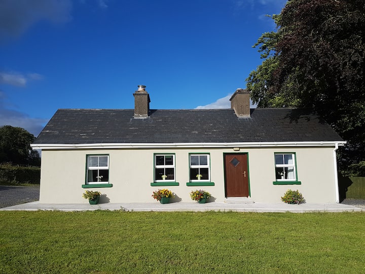 Enclosure in Cottage (costello By.)Enclosure · 757 yd
 IndicatedEnclosure · 757 yd
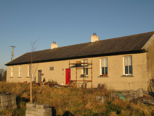 Saint Joseph's National Schoolschool · 1490 yd
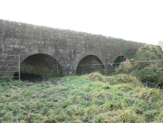 Agloragh Bridgebridge · 1.1 mi
 CastleCastle, unclassified · 2.5 mi
 Slieve DartMountain / peak · 4.5 mi
 Dunmore CastleCastle · 6.7 mi
 Oak WoodForest · 8.5 mi
 Land of the GiantsHeritage attraction · 9.3 mi
 Geoffrey's WoodForest · 9.4 mi
 Mass RockNamed rock · 15 mi
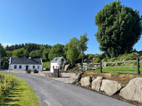 Doonfore FortFairy fort / earthen ringfort · 885 yd