What is recorded here
The official Northern Ireland record identifies this as BURNT MOUND. Recorded period: PREHISTORIC. The official map point was placed at the centre of the recorded archaeological site from the source map reference.
The monument record does not grant public access. Check the route and ask the landowner before entering private land.
- What survives
- Recorded monument
Places near here
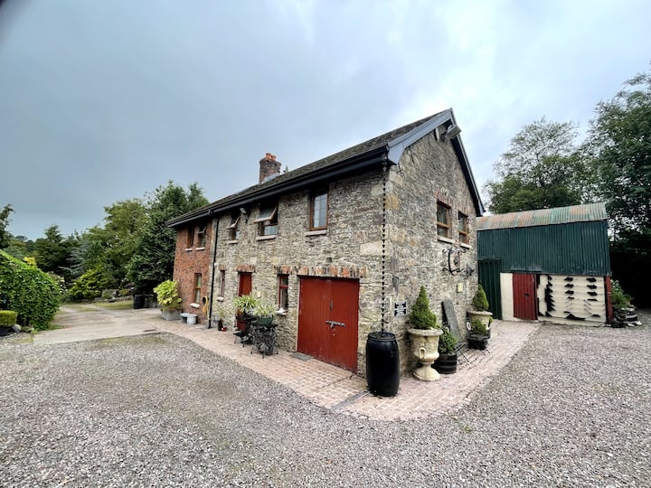 ENCLOSURE? in ClaraghyENCLOSURE? · 863 yd
 RECTANGULAR ENCLOSURE: TULLYDAHY in DerrylomanRECTANGULAR ENCLOSURE: TULLYDAHY · 1150 yd
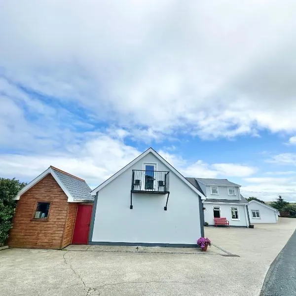 Claragh WoodForest · 1238 yd
 Moneyneddy WoodForest · 1.2 mi
 LismaloreRuins · 1.8 mi
 Lady Brooke Memorial HallHall · 2.0 mi
 The Station House, BrookeboroughHeritage attraction · 2.2 mi
 "Fivemiletown Deli" G8 Virtual ShopHeritage attraction · 3.7 mi
 IRA MemorialMemorial · 4.2 mi
 EschleaghMountain / peak · 4.7 mi
 CASTLE: CASTLE BALFOUR in Castle Balfour DemesneCASTLE: CASTLE BALFOUR · 6.5 mi
 Castle BalfourCastle · 6.5 mi