What is recorded here
Situated towards the bottom of a SW-facing slope. An area of burnt stone (dims. 15m E-W; 10m N-S) is visible in a ploughed field.
The above description is derived from the published 'Archaeological Inventory of County Wexford' (Dublin: Stationery Office, 1996). In certain instances the entries have been revised and updated in the light of recent research.
Compiled by: Michael Moore
Date of upload/revision: 29 February 2012
Burnt mound, likely dating to the Neolithic or early Bronze Age. Such features are commonly associated with ritual or industrial activities, though their exact function remains debated.
The monument record does not grant public access. Check the route and ask the landowner before entering private land.
- What survives
- Recorded monument
Places near here
 Sunday WellHoly well · 1117 yd
 Gibbet HillMountain / peak · 1.2 mi
 (Site of) AbbeyReligious house, Augustinian canons · 1.4 mi
 European YewEuropean Yew · 1.6 mi
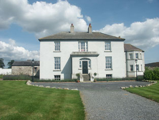 Raheengraney Housecountry house · 1.8 mi
 Clonegall Bridgebridge · 1.9 mi
 Common LimeCommon Lime · 2.0 mi
 Clonogan Castle (site of)Castle, unclassified · 2.0 mi
 Huntington Castle & GardensHeritage attraction · 2.1 mi
 1798 rebellion Battle of Newtownbarry (AKA Bunclody) commemorative plaqueMemorial · 3.4 mi
 Barragh Church (in ruins), GraveyardChurch · 3.4 mi
 Bunclody 1798 Bicentenary MemorialMemorial · 3.4 mi