What is recorded here
Situated on a gentle N-facing slope. An area of broken and burnt stones (dims c. 12m x c. 7m) in a black clay matrix is visible when the area is ploughed.
Compiled by: Michael Moore
Date of upload; 21 March, 2014
Burnt mound in Clougheast is a Neolithic ritual or industrial site, dating to approximately 4000–2500 BCE. Its significance lies in providing evidence of early human activity, possibly related to heat-treated stone processes or ceremonial practices.
The monument record does not grant public access. Check the route and ask the landowner before entering private land.
- What survives
- Recorded monument
Places near here
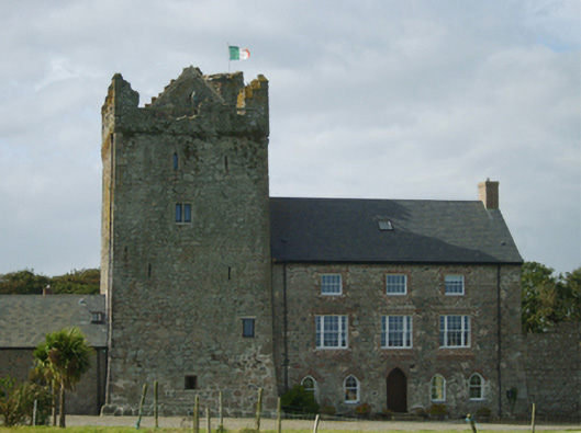 farm house, Churchtownfarm house · 82 yd
 Castle, ClougheastCastle, tower house · 93 yd
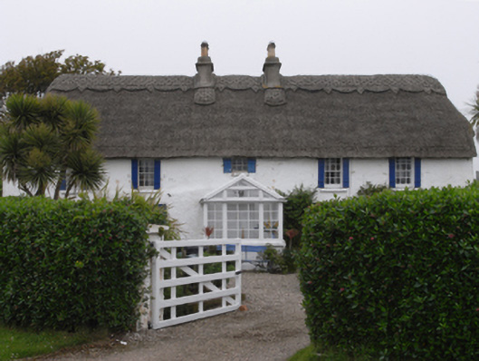 Clougheast Cottagehouse · 314 yd
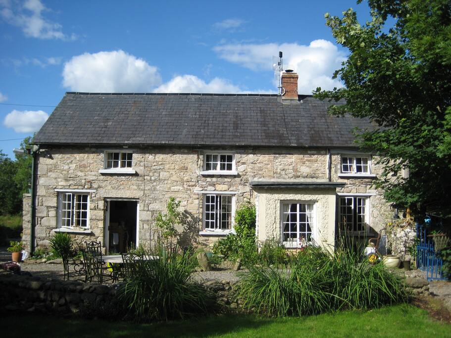 The Long StoneArchaeological place · 497 yd
 Wind Mill Stump, Castletown (forth By.)Windmill · 837 yd
 Site of Castle, CastlepaliserCastle, unclassified · 896 yd
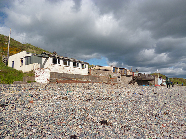 Nethertown BeachBeach / strand · 1044 yd
 Churchtown Beach / The Sandy GripeBeach / strand · 1112 yd
 The Caravan RockNamed rock · 1219 yd
 Lifeboat MemorialMemorial · 1234 yd
 The CaamstoneNamed rock · 1.0 mi
 Shernock Hill/Knocks HillMountain / peak · 1.2 mi