What is recorded here
In Cloontreem, a small mound of heat-shattered stones and charcoal-enriched soil sits on the bank of a stream. Burnt material still lies scattered along the water for several metres, suggesting people heated stones and dropped them into the flow. A nearby hut site and standing stone imply the mound belonged to a lived landscape rather than a forgotten accident. The water may have carried warmth, food or life into the village.
In rough pasture, on bog, on a SW-facing slope. The remains of an eroded irregular mound (c. 5m NE-SW; c. 3m NW-SE; H 0.1m) of heat-shattered stones and charcoal-enriched soil on the NW bank of a stream. Burnt material is also scattered along the bed of the stream for a distance of c. 6m. There is a hut site (CO115-023----) c. 60m to the NE and a standing stone (CO115-156----) c. 80m to the SW.
The above description is derived from 'The Archaeological Inventory of County Cork. Volume 5' (Dublin: Stationery Office, 2009).
Date of upload: 22 December 2009
A burnt mound; likely dating to the Bronze Age. These features are commonly associated with domestic or ritual activities, such as heat-treated stone structures for cooking or ceremonial purposes.
The monument record does not grant public access. Check the route and ask the landowner before entering private land.
- What survives
- Recorded monument
Places near here
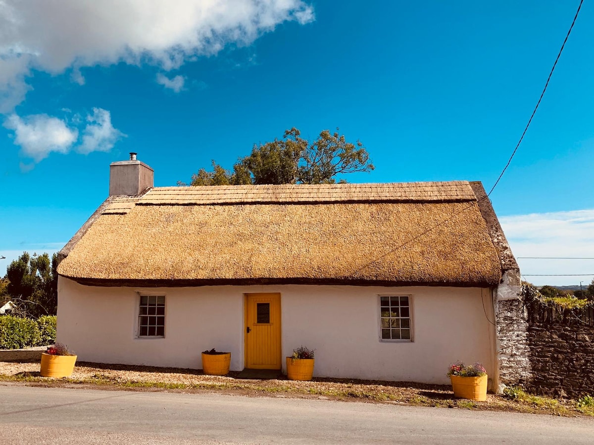 Hut site in CloontreemHut site · 346 yd
 Field boundary in CloontreemField boundary · 463 yd
 Eagle HillMountain / peak · 1041 yd
 Aghakista BrBridge · 1667 yd
 Tuck Mill (Disused)Mill, fulling · 1718 yd
 Beara WayWalking route · 1.2 mi
 Berehaven Battalion MemorialMemorial · 1.4 mi
 Dinish IslandIslet · 1.5 mi
 Sarah Walker GalleryGallery · 1.5 mi
 Minane IslandIslet · 1.5 mi
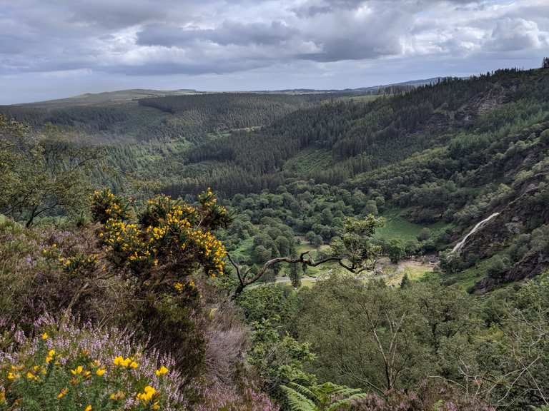 MaulinMountain / peak · 2.2 mi
 Burial ground in DerrycreeveenBurial ground · 2.3 mi