What is recorded here
This possible burnt mound was discovered during archaeological testing for the N4 Collooney to Castlebaldwin Road Project under Ministerial Direction A071 (E005036). Three discrete patches of black charcoal-rich silty clay with frequent heat-shattered sandstone were uncovered in close proximity to each other in a test trench. The deposits (max. dim. 1.5-4m) were 2.5-3m distant from each other, and a modern drain lay between two of the deposits. These remains probably represent a damaged or levelled burnt mound.
Compiled by: Jane O'Shaughnessy
Date of upload: 12 July 2022
The monument record does not grant public access. Check the route and ask the landowner before entering private land.
- What survives
- Recorded monument
Places near here
 Tober BrideHoly well · 71 yd
 Castlebaldwincastle/fortified house · 269 yd
 Castle BaldwinCastle · 270 yd
 Fulacht fia in Bellanagarrigeeny OR CastlebaldwinFulacht fia · 291 yd
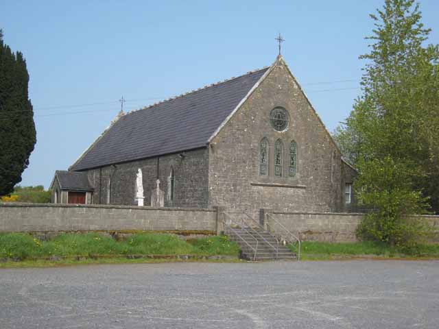 Saint Patrick's Catholic Churchchurch/chapel · 1327 yd
 Bricklieve Castle (in Ruins)Castle, unclassified · 1.2 mi
 Annaghgowla IslandIslet · 1.4 mi
 Bricklieve MountainsMountain / peak · 1.6 mi
 Treanscrabbagh caveCave · 1.8 mi
 InishmoreIslet · 1.9 mi
 Carricknahorna EastMountain / peak · 2.3 mi
 School CaveCave · 2.5 mi