What is recorded here
No visible water now, but the wet ground beside it and the heat-shattered stone suggest people boiled or cleaned water at this place long before the field wall crossed it. It lies low in pasture below a rath, half-hidden in grass and thistles, waiting for someone to imagine the steam rising beside the slope.
In pasture, located at the base of a SE-facing slope, bordering an expanse of flat, partly reclaimed wet ground. There is a rath (MA111-003----) c. 100m upslope to W.
A low, elongated mound (c. 20m NE–SW; c. 11m NW–SE; H 0.7m at SE, 0.4m at NW) overlain centrally on a NE–SW axis by a field wall. A concentration of small angular, possibly heat-shattered limestone fragments in a dark-coloured soil matrix was noted at the NE end. Covered in long grass, thistles and hawthorn scrub.
Compiled by: Jane O'Shaughnessy
Date of upload: 9 March 2023
Burnt mound in Clareen is a Bronze Age ritual or industrial site, characterized by a low, elongated mound of heat-altered stones. Its location near a rath suggests possible settlement or ceremonial connections in a landscape used for multiple purposes during the later prehistoric period.
The monument record does not grant public access. Check the route and ask the landowner before entering private land.
- What survives
- Recorded monument
Places near here
 IndicatedEnclosure · 377 yd
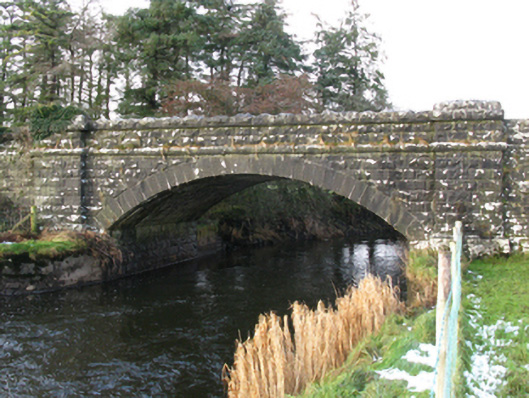 bridgebridge · 956 yd
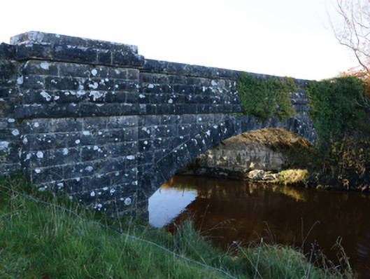 Hollybrook Bridgebridge · 1114 yd
 Castle (ruin)Castle, unclassified · 1233 yd
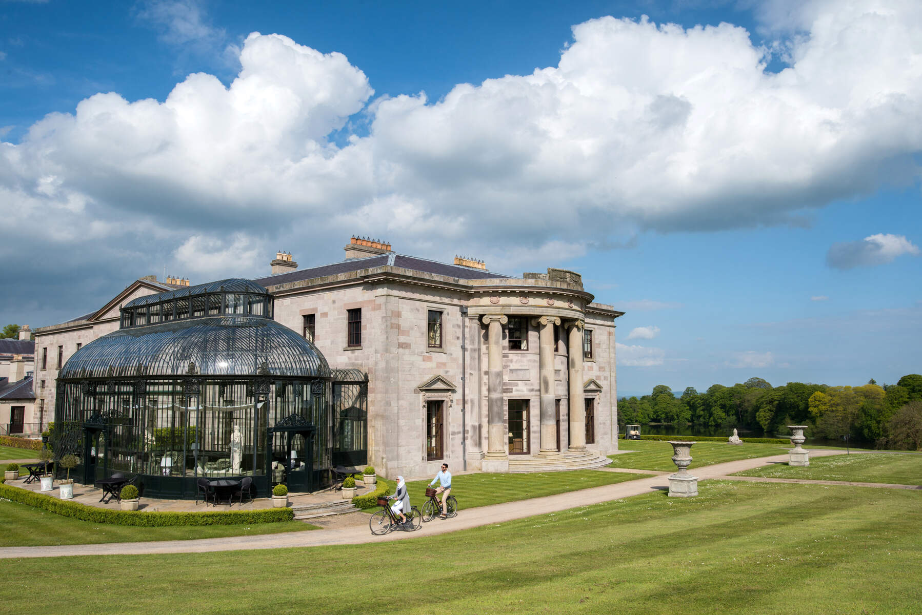 Enclosure in Lehinch DemesneEnclosure · 1.4 mi
 Ahena CastleCastle · 1.7 mi
 Geoffrey's WoodForest · 3.8 mi
 SycamoreSycamore · 3.9 mi
 Land of the GiantsHeritage attraction · 4.2 mi
 Carrigeen ShangormanIslet · 9.4 mi
 Long IslandIslet · 10 mi
 Black RocksNamed rock · 11 mi