What is recorded here
In generally level area of rough, densely overgrown pasture (furze, rushes, briars and sally trees). Oblong mound (dims. c. 8-10m N-S; c. 22m E-W) which is covered in a dense overgrowth of furze bushes; Large sally bush at E-end. Black soil and reddened heat-shattered stone noted under the sod at the only clear area within N sector.
Compiled by: Alison McQueen and Vera Rahilly
Date of upload: 14 November 2014
Burnt mound in Caher is a Neolithic ritual or industrial site, dating to the 4th–3rd millennia BCE. Its significance lies in providing evidence of early human activity, possibly related to heat-treated stone use or ceremonial practices.
The monument record does not grant public access. Check the route and ask the landowner before entering private land.
- What survives
- Recorded monument
Places near here
 Fulacht FianFulacht fia · 339 yd
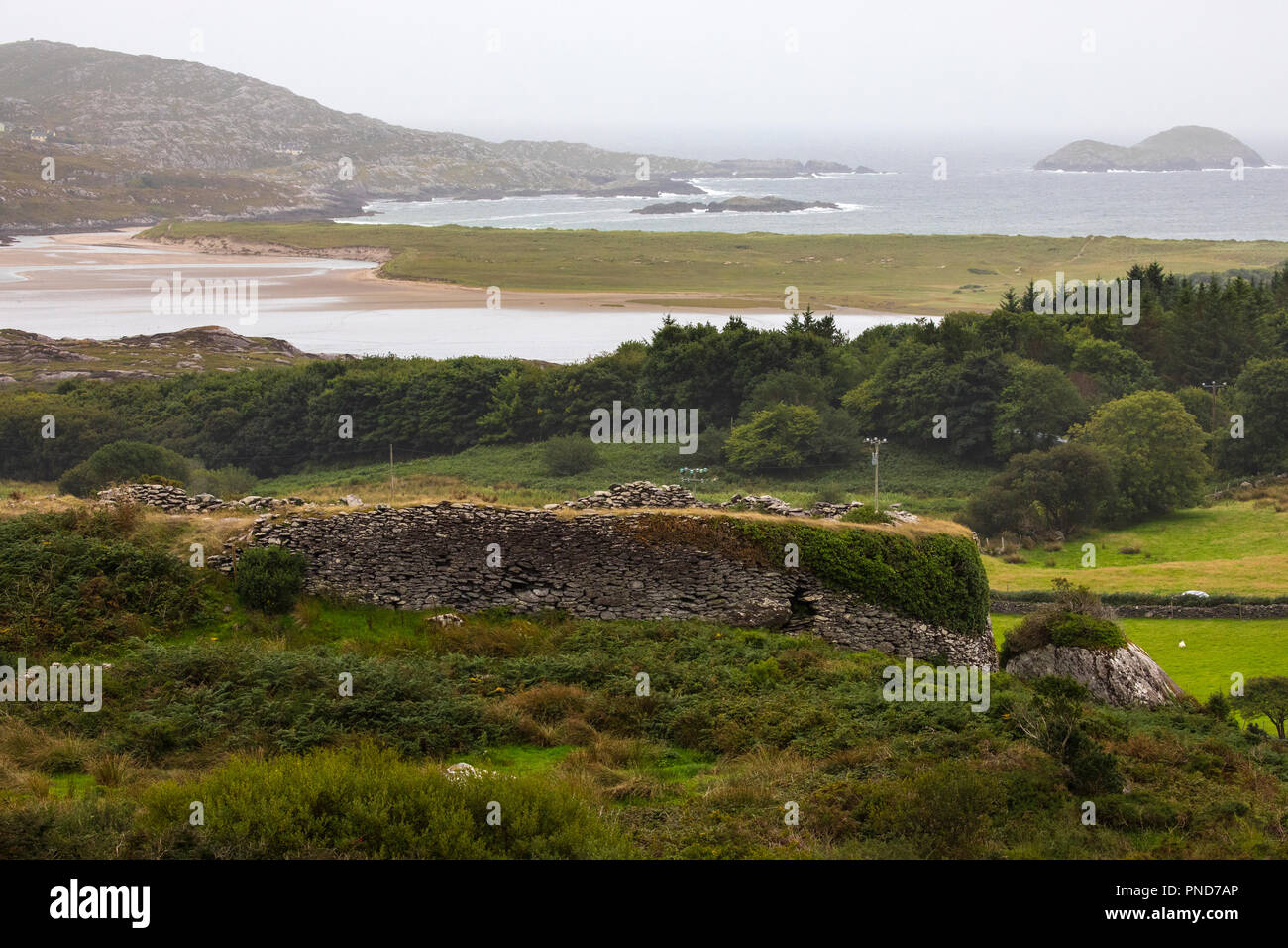 Man-made underground passage in Caher (magunihy By.)Man-made underground passage · 488 yd
 RoadRoad, road/trackway · 1017 yd
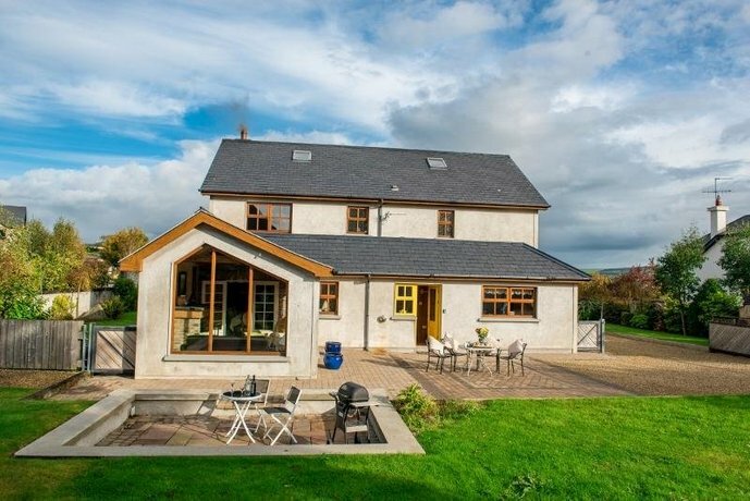 Coolgarriv HouseCountry house · 1273 yd
 Aghadoe Early Medieval Ecclesiastical SiteHeritage attraction · 1311 yd
 Parkavonear CastleCastle · 1353 yd
 Famine MemorialMemorial · 1.2 mi
 Circular WalkWalking route · 1.3 mi
 GinkgoGinkgo · 1.5 mi
 Giant SequoiaGiant Sequoia · 1.5 mi
 Cairn of PeaceMemorial · 1.6 mi
 Lamb IslandIsland · 1.8 mi