What is recorded here
In pasture, on the N bank of a stream. According to local information, a spread of heat-shattered stones and charcoal-enriched soil was encountered during drainage works here. There were no visible remains of this material in 2005.
The above description is derived from 'The Archaeological Inventory of County Cork. Volume 5' (Dublin: Stationery Office, 2009).
Date of upload: 22 December 2009
A burnt mound; likely Bronze Age. These features are commonly associated with domestic or ritual activities, such as cooking or heat-treated stone constructions.
The monument record does not grant public access. Check the route and ask the landowner before entering private land.
- What survives
- Recorded monument
Places near here
 Burnt mound in Ardagh (carbery West (e.d.) By., Myross Par.)Burnt mound · 546 yd
 Bawnlahanhouse · 784 yd
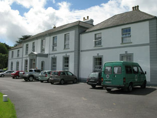 Myross Wood Housecountry house · 827 yd
 Bláth na GréineWood · 1003 yd
 Sitka SpruceSitka Spruce · 1159 yd
 Cnoc BuíMountain / peak · 1225 yd
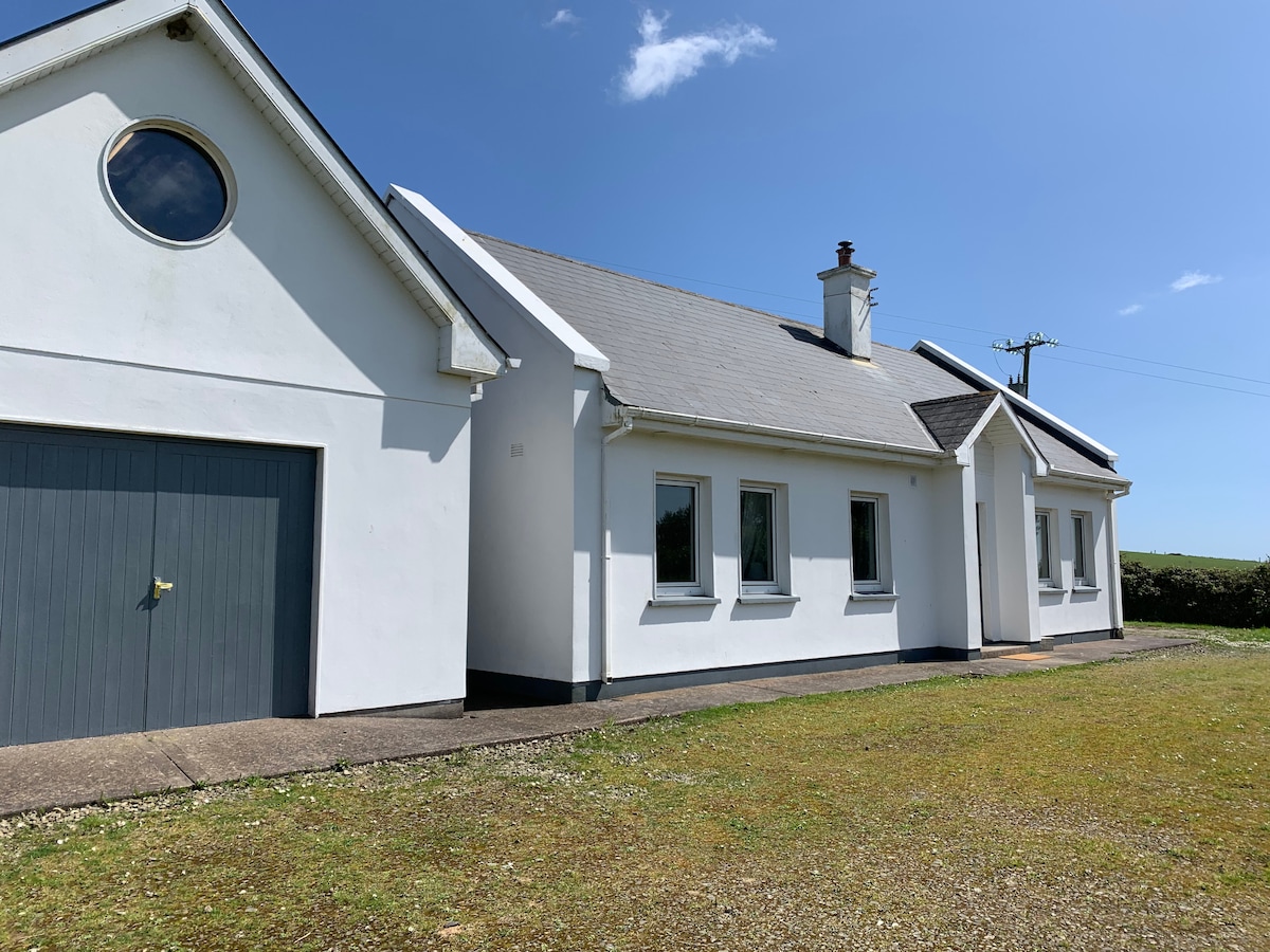 Tobar na gCapallSpring · 1535 yd
 Big HeightMountain / peak · 1549 yd
 Myross PointHeadland · 1560 yd
 CarrigeenNamed rock · 1628 yd
 Wild Atlantic WayVisitor information · 1.0 mi
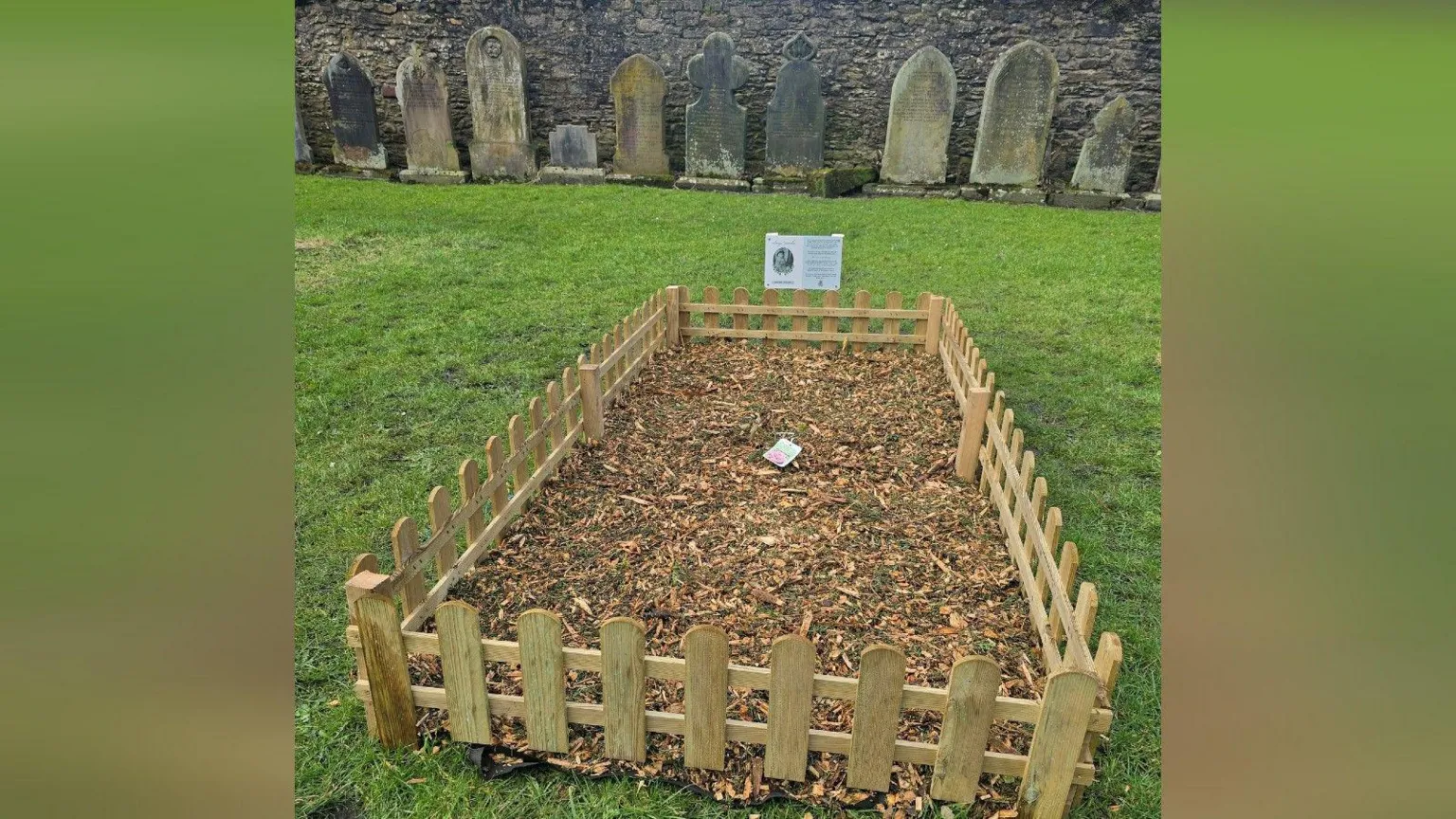 Childrens Burial Gd (Disused)Burial ground · 1.1 mi