What is recorded here
A geophysical Survey by Bartlett-Clark (2002) noted anomalies which targeted archaeological testing (04E0580) by N. Fairburn (2004) at Testing Area 7 could identify as what appeared to be a burnt mound (excavations.ie 2004:1190). It was fully resolved (E003106) by L. Clarke over one week in July – August 2006 as Boyerstown 2 (excavations.ie 2006:1517). It consisted of a subcircular layer (dims 7m x 6m; T 0.15m) of fire-cracked sandstone and charcoal-stained clay that was the topmost layer within a large triangular cut (dims 6.5m N-S; 6m E-W; max. D 1.5m) that was a cistern (ME025-091001-).
Compiled by: Michael Moore
Date of upload: 12 April, 2023
Clarke, L. 2008 M3 Clonee-North of Kells. Contract 3 – Navan Bypass. Report on the Archaeological Excavation of Boyerstown 2, Co. Meath. Licence: E003106. Final Unpublished report, Archaeological Consultancy Services
Burnt mound in Boyerstown is a prehistoric ritual or industrial site, likely dating to the Neolithic or Bronze Age. Its significance lies in providing evidence of early land use, heat-related activities, or ceremonial practices.
The monument record does not grant public access. Check the route and ask the landowner before entering private land.
- What survives
- Recorded monument
Places near here
 Enclosure in BoyerstownEnclosure · 390 yd
 Field boundary in ArdbraccanField boundary · 924 yd
 KilnKiln, corn-drying · 1505 yd
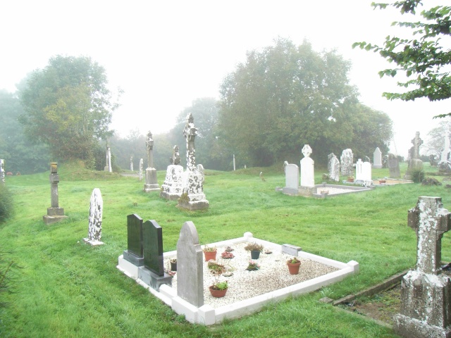 Church (in Ruins)Church · 1.5 mi
 BohermeenMountain / peak · 1.8 mi
 DurhamstownMountain / peak · 1.8 mi
 The New Line RoadMemorial · 2.0 mi
 Nangle CourtMemorial · 2.6 mi
 Wych ElmWych Elm · 3.2 mi
 Fox CovertWood · 3.5 mi
 Assey CastleCastle, tower house · 3.7 mi
 Donaghmore Round TowerHeritage attraction · 3.8 mi