What is recorded here
Archaeological monitoring (04E0871) of works in preparation for a windfarm identified archaeological features, some of which were preserved in situ but others were excavated under the same licence. This is a spread of broken and burnt stone (dims 4.6m E-W; 3.5m N-S) overlying a pit or trough (1.4m E-W; 0.7m N-S) filled with a charcoal-rich black silty clay with heat-shattered sandstone. A spread of broken and burnt stone (dims 2.7m E-W; 1.4m N-S) is just E of the trough. The deposits were preserved under a layer of terram, sand and hardcore, during the laying of which further burnt mound material was identified. (McLoughlin 2007; 2008, 4)
Compiled by: Michael Moore
Date of upload: 18 June, 2012
Amended: 3 December 2020
A Bronze Age burnt mound; its significance lies in providing evidence of prehistoric activity and land use in the area, likely associated with ritual or industrial practices.
The monument record does not grant public access. Check the route and ask the landowner before entering private land.
- What survives
- Recorded monument
Places near here
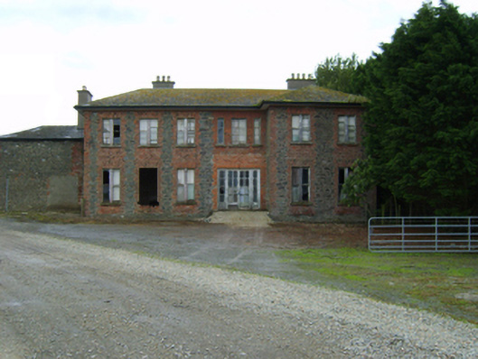 Ballywater Housefarm house · 473 yd
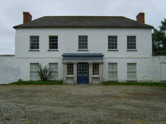 Peppard's Castlecountry house · 1034 yd
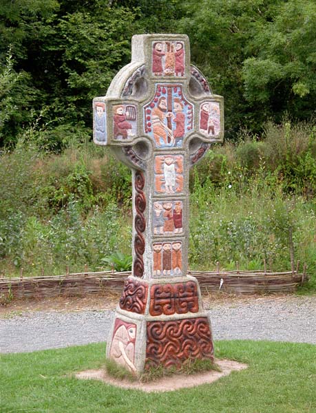 Cross in RaheenluskCross · 1369 yd
 The Cahore Polders and DunesNature reserve · 1.1 mi
 Embanked enclosureCastle, motte · 1.2 mi
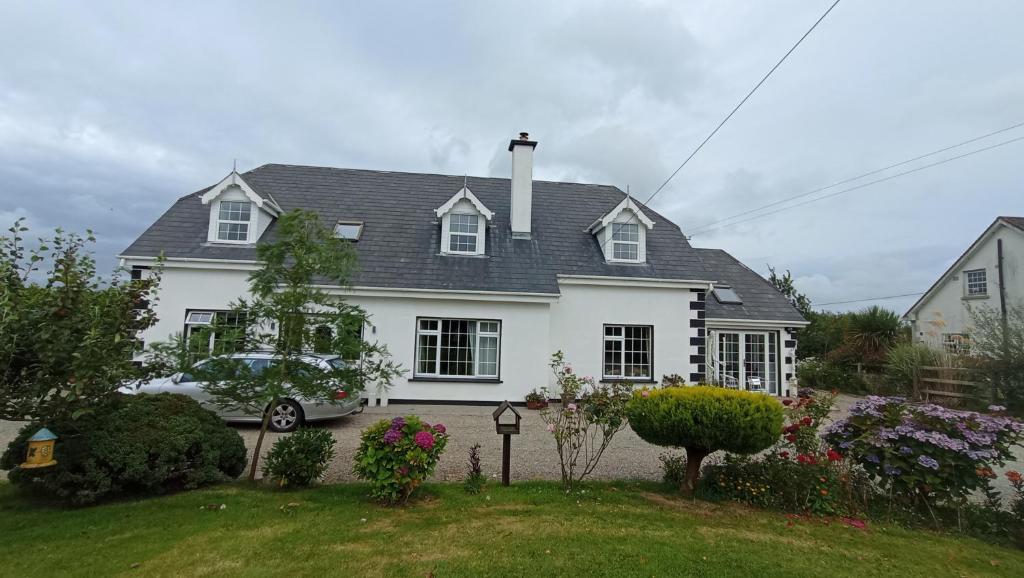 Kiltrisk WellHoly well · 1.2 mi
 Shrule Deer FarmHeritage attraction · 1.3 mi
 Site of Morris CastleCastle, unclassified · 1.4 mi
 Morriscastle BeachBeach / strand · 1.8 mi
 Newtown BeachBeach / strand · 2.1 mi
 Wexford - TexasMemorial · 2.5 mi
 1798 MemorialMemorial · 2.8 mi