What is recorded here
Situated at the base, near the S end, of a narrow steep N-S orientated valley in wet boggy pasture. Roughly circular spread (dims. 5m N-S; 6m E-W) of charcoal rich soil and fire shattered stone. A N-S orientated drain (Wth 1.5m; D 0.5m) crosses the spread to NW of centre. Charcoal rich soil and fire shattered stone is visible in the drain faces as a 0.2-0.3m thick band 0.2m immediately below the topsoil (T 0.15-0.25m). An E-W orientated relic drystone field wall crosses the spread slightly to N of centre.
Compiled by: Patrick F. O'Donovan
Date of upload: 21 April 2011
Burnt mound in Ballynamona is a Bronze Age ritual or industrial site, characterized by a spread of charcoal-rich soil and fire-shattered stone. Its orientation and location suggest possible ritual activity or heat-related functions such as tanning or cooking.
The monument record does not grant public access. Check the route and ask the landowner before entering private land.
- What survives
- Recorded monument
Places near here
 Man-made underground passage in BallynamonaMan-made underground passage · 186 yd
 IndicatedFairy fort / earthen ringfort · 950 yd
 CastleCastle, tower house · 1427 yd
 Parke's CastleHeritage attraction · 1433 yd
 Court Tomb TrailWalking route · 1.3 mi
 Toberconnell BayBay · 1.5 mi
 St. Connells IslandIslet · 1.6 mi
 Keelogyboy Mtn SW TopMountain / peak · 1.6 mi
 Keelogyboy MountainMountain / peak · 1.8 mi
 Chapel (in Ruins)Church · 1.8 mi
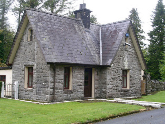 Clogherrevagh Housegate lodge · 1.8 mi
 Comorant RockIslet · 1.9 mi