What is recorded here
Sixty metres east of a known fulacht fia, a low burnt mound still lies in a marshy Ballycoony field. Fire-fractured stones and black earth mark its irregular shape, measuring 5.8 metres across and rising only 0.25 metres. People may have heated water there for cooking, cleaning or ritual, then left the broken stones behind. The mound preserves that repeated labour beneath grass and rain.
In a marshy field close to a stream and some 60m to the E of a fulacht fia (GA105-014----). Fire-fractured stones and black earth are evident in this irregularly shaped low burnt mound (5.8m E-W; H 0.25m max).
Compiled by: Galway Archaeological Survey, UCG
Date of upload: 15 November 2019
A burnt mound; likely dating to the Bronze Age. It is associated with a fulacht fia, indicating ritual or domestic activity related to water heating.
The monument record does not grant public access. Check the route and ask the landowner before entering private land.
- What survives
- Recorded monument
Places near here
 Fulacht fia in BallycoonyFulacht fia · 65 yd
 Site of CastleCastle, unclassified · 118 yd
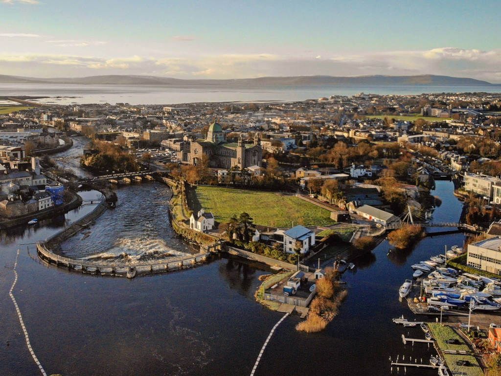 IndicatedFairy fort / stone ringfort · 570 yd
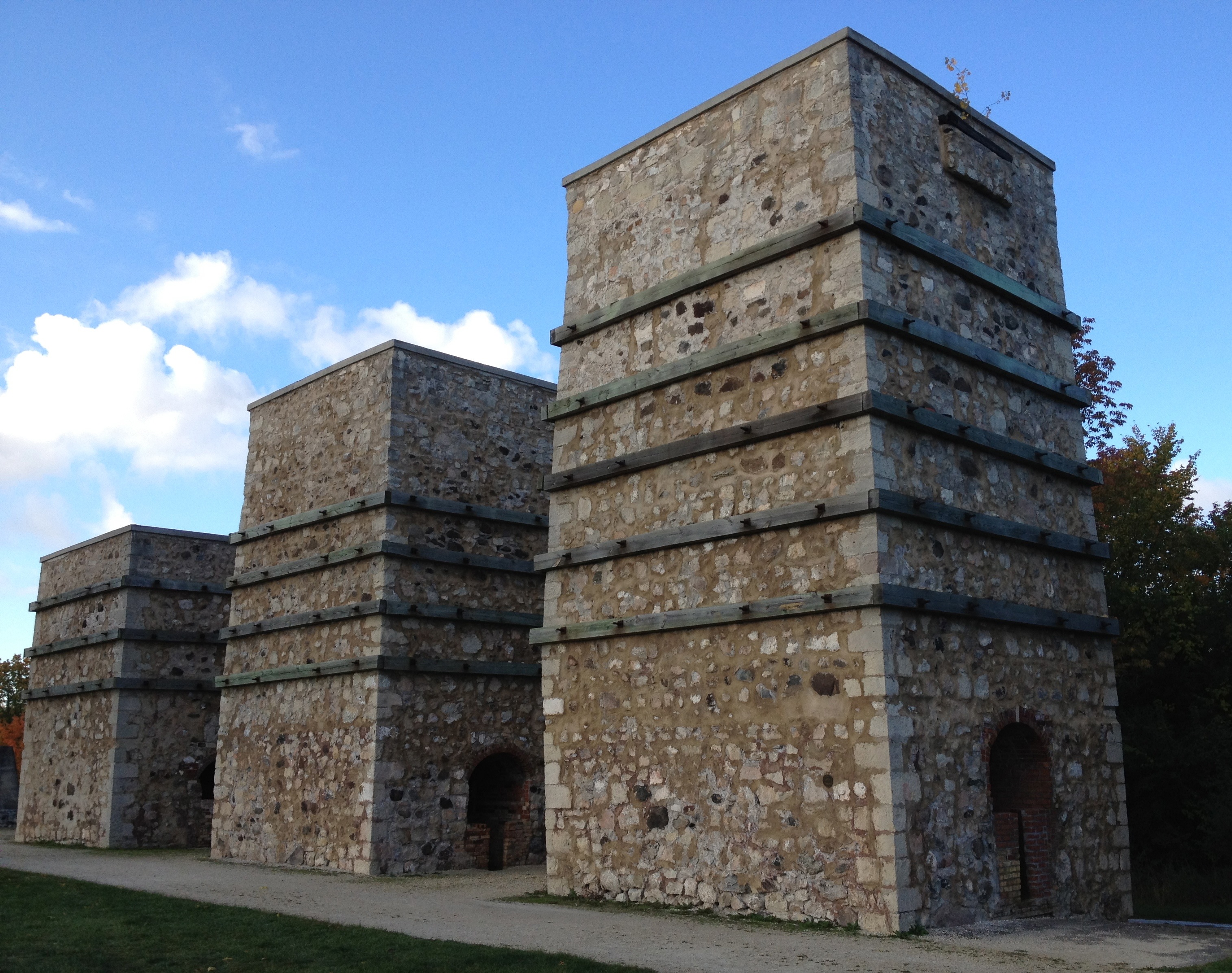 KilnKiln, lime · 1221 yd
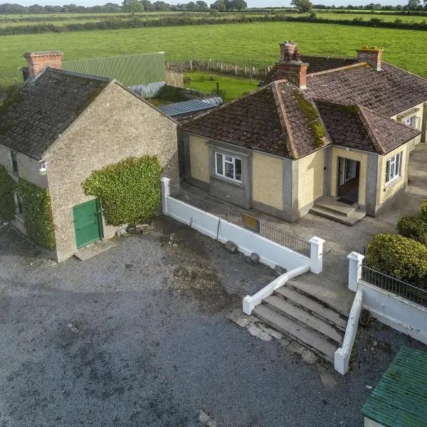 Ballingarry Ho.Country house · 1498 yd
 CastleCastle, tower house · 1.3 mi
 Ash IslandIslet · 1.8 mi
 Blake's IslandIslet · 2.2 mi
 Long PointHeadland · 2.5 mi
 Scalpeen RockNamed rock · 3.1 mi
 KnockapollboyMountain / peak · 4.5 mi
 Derrybrien Bog SlideHeritage attraction · 5.7 mi