What is recorded here
In wet pasture. A layer (L 4m; D 0.3m) of heat-shattered stones in a matrix of dark charcoal-rich soil is visible in the W-facing section of a drain. The heat-shattered stones are below 0.2m of sod and rest on a base of sandy clay. A fulacht fia (SL043-006002-) lies c. 40m to ESE in the same field; another fulacht fia (SL043-005----) lies c. 100m to NW and a possible fulacht fia (SL043-007----) lies c. 100m to SE.
The above description is derived from the published 'Archaeological Inventory of County Sligo' compiled by Ursula Egan, Elizabeth Byrne, Mary Sleeman with Sheila Ronan and Connie Murphy (Dublin Stationery Office, 2005).
Date of upload: 18 January 2008
Burnt mound, likely dating to the Neolithic or Bronze Age. This site represents a domestic or ritual heat-related activity, common across Ireland during these periods.
The monument record does not grant public access. Check the route and ask the landowner before entering private land.
- What survives
- Recorded monument
Places near here
 Fulacht fia in BallincurryFulacht fia · 40 yd
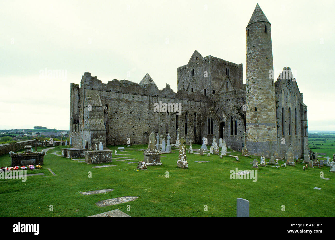 Indicated (1838).Fairy fort / earthen ringfort · 1380 yd
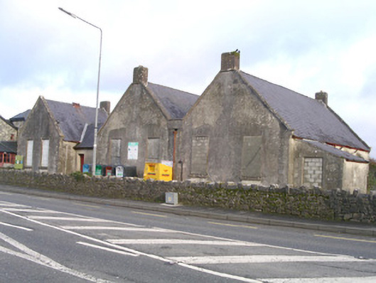 Curry National Schoolschool · 1.4 mi
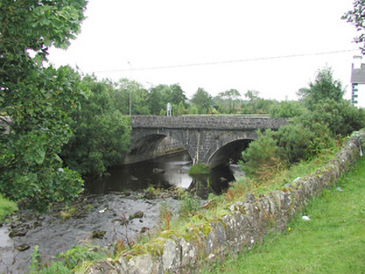 bridgebridge · 1.5 mi
 Old Cave Burial GroundArchaeological place · 2.6 mi
 Ballyara Castle (in Ruins)Castle, unclassified · 3.0 mi
 CastleCastle, unclassified · 3.7 mi
 Muckelty HillMountain / peak · 5.2 mi
 Bockagh HillMountain / peak · 7.4 mi
 Lough Talt TrailVisitor information · 9.0 mi
 Procession Of The SoulsMemorial · 9.5 mi
 Brabazon WoodsForest · 9.6 mi