What is recorded here
This possible burnt mound was discovered during archaeological test-trenching undertaken in advance of the construction of the N22 Ballincollig Bypass. Excavation in 2001 revealed a spread (4.5m x 2.75m; max. D 0.21) of heat-shattered stones and charcoal-enriched soil. Immediately to the S of this spread was a deposit (1.4m x 0.8m; D 0.1m) of dark orange silty clay with charcoal inclusions which was interpreted as probably an associated hearth. The function of a shallow depression (1.5m x 0.7m; D 0.05m) filled with heat-shattered stones and charcoal-enriched soil, which was uncovered further to the S was not established but it was thought not to have been a trough. A fulacht fia (CO073-067----) lies c. 110m to the W. (Murphy 2003b, 26)
The above description is derived from 'The Archaeological Inventory of County Cork. Volume 5' (Dublin: Stationery Office, 2009).
Date of upload: 22 December 2009
Burnt mound (fulacht fiadh), likely dating to the Early to Middle Bronze Age. These features are significant as they provide insight into prehistoric cooking, processing, or ritual activities.
The monument record does not grant public access. Check the route and ask the landowner before entering private land.
- What survives
- Recorded monument
Places near here
 Fulacht FiadhFulacht fia · 123 yd
 Enclosure in CarrigrohaneEnclosure · 834 yd
 Murphy's FarmHeritage attraction · 1060 yd
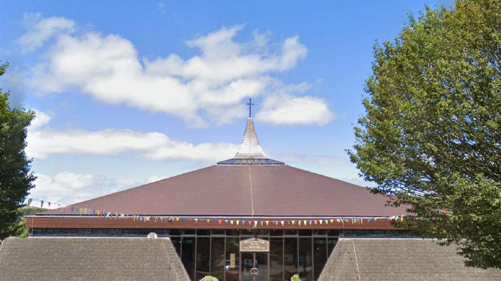 Church in Ballinaspig MoreChurch · 1220 yd
 Ballincollig ViewViewpoint · 1341 yd
 Sunday WellSpring · 1695 yd
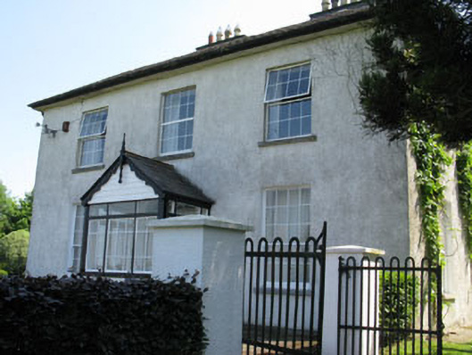 Castlewhitehouse · 1.0 mi
 Caslte (Site of)Castle, unclassified · 1.0 mi
 viaduct city viewViewpoint · 1.2 mi
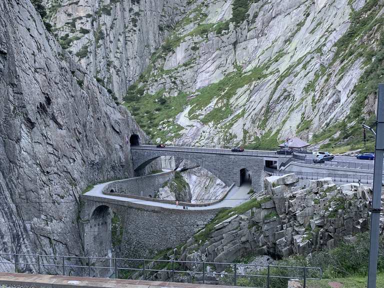 Monument WaterfallMonument · 1.4 mi
 Graveyard in BallynoraGraveyard · 1.5 mi
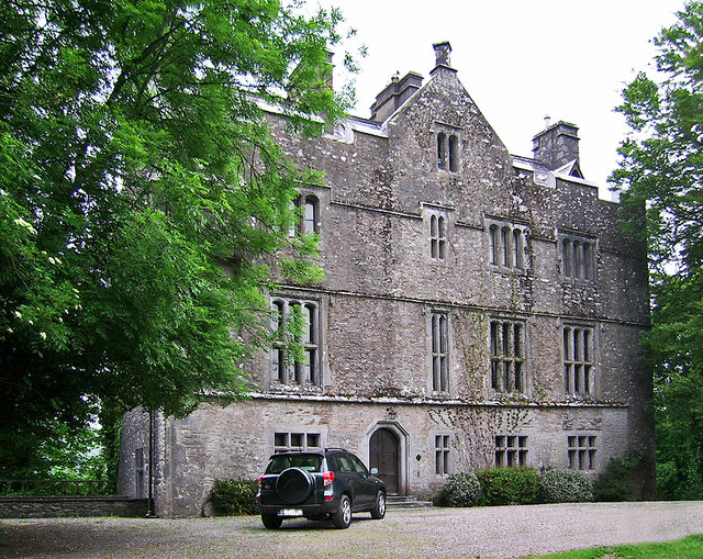 Carrigrohane Castle (in Ruins)Castle, Anglo-Norman masonry castle · 1.6 mi