What is recorded here
The official Northern Ireland record identifies this as BURNT MOUND - FULACHT FIADH. Recorded period: BRONZE AGE; PREHISTORIC. The official map point was placed at the centre of the recorded archaeological site from the source map reference.
Bronze Age fulacht fia, dating to the prehistoric period. These sites are significant as they provide insight into early cooking or ritual practices in Ireland.
The monument record does not grant public access. Check the route and ask the landowner before entering private land.
- What survives
- Recorded monument
Places near here
 ENCLOSURE in DrummacoorinENCLOSURE · 1106 yd
 AP CropmarkAP Cropmark, Enclosure or possible bivallate rath · 1.6 mi
 MEDIEVAL CHURCH DOORWAY in FarnaconnellMEDIEVAL CHURCH DOORWAY · 1.7 mi
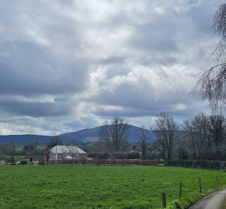 PLANTATION BAWN (unlocated) in MoyglassPLANTATION BAWN (unlocated) · 1.9 mi
 Pollnagollum CaveCave · 2.2 mi
 Belmore MountainMountain / peak · 2.3 mi
 FORTIFIED HOUSE (unlocated) in DrumbooryFORTIFIED HOUSE (unlocated) · 2.7 mi
 Monea CastleHeritage attraction · 2.7 mi
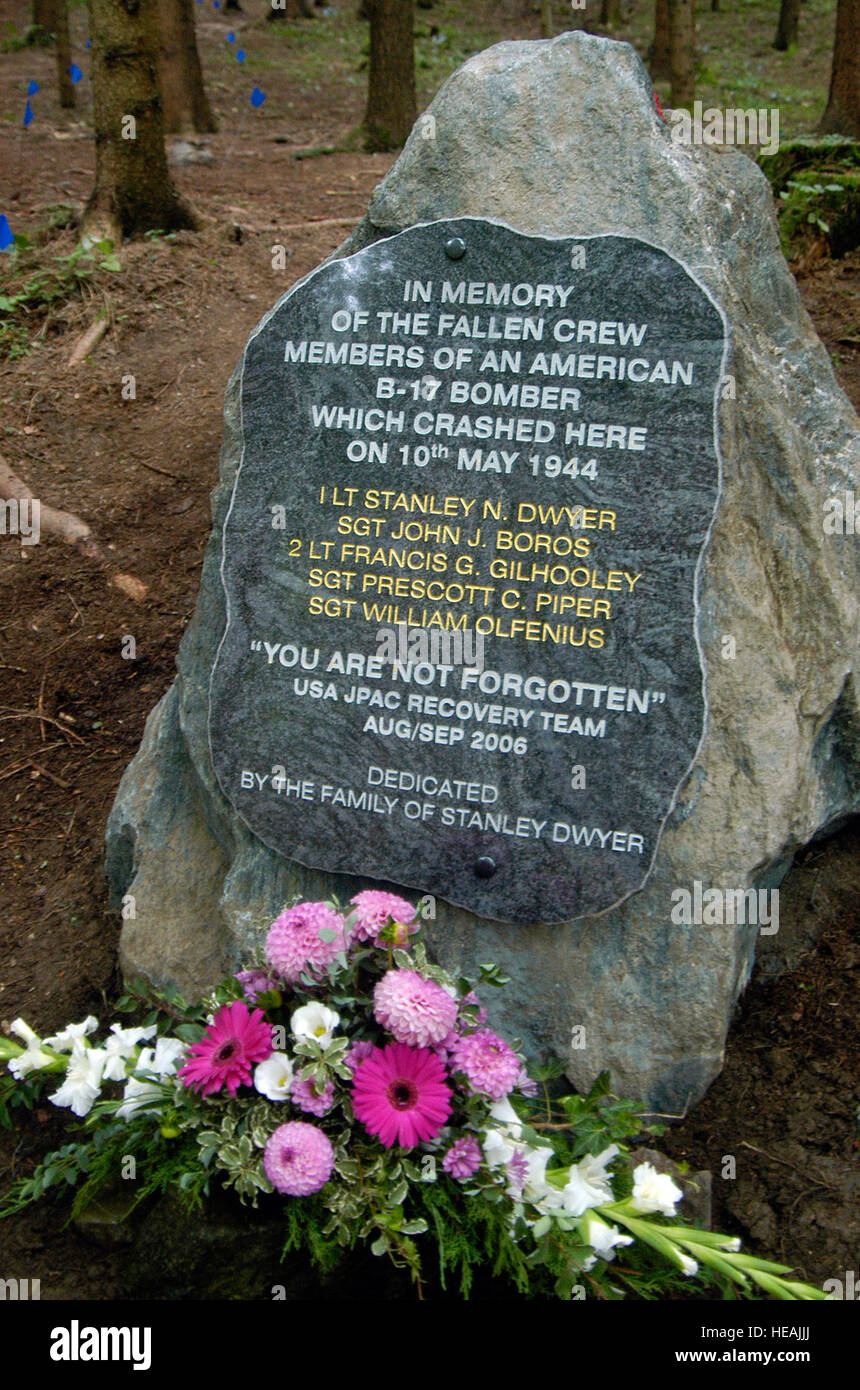 B17 Crash MemorialMonument · 3.3 mi
 Letterbreen Methodist ChurchChurch · 3.5 mi
 Tullycarbry ForestForest · 4.1 mi
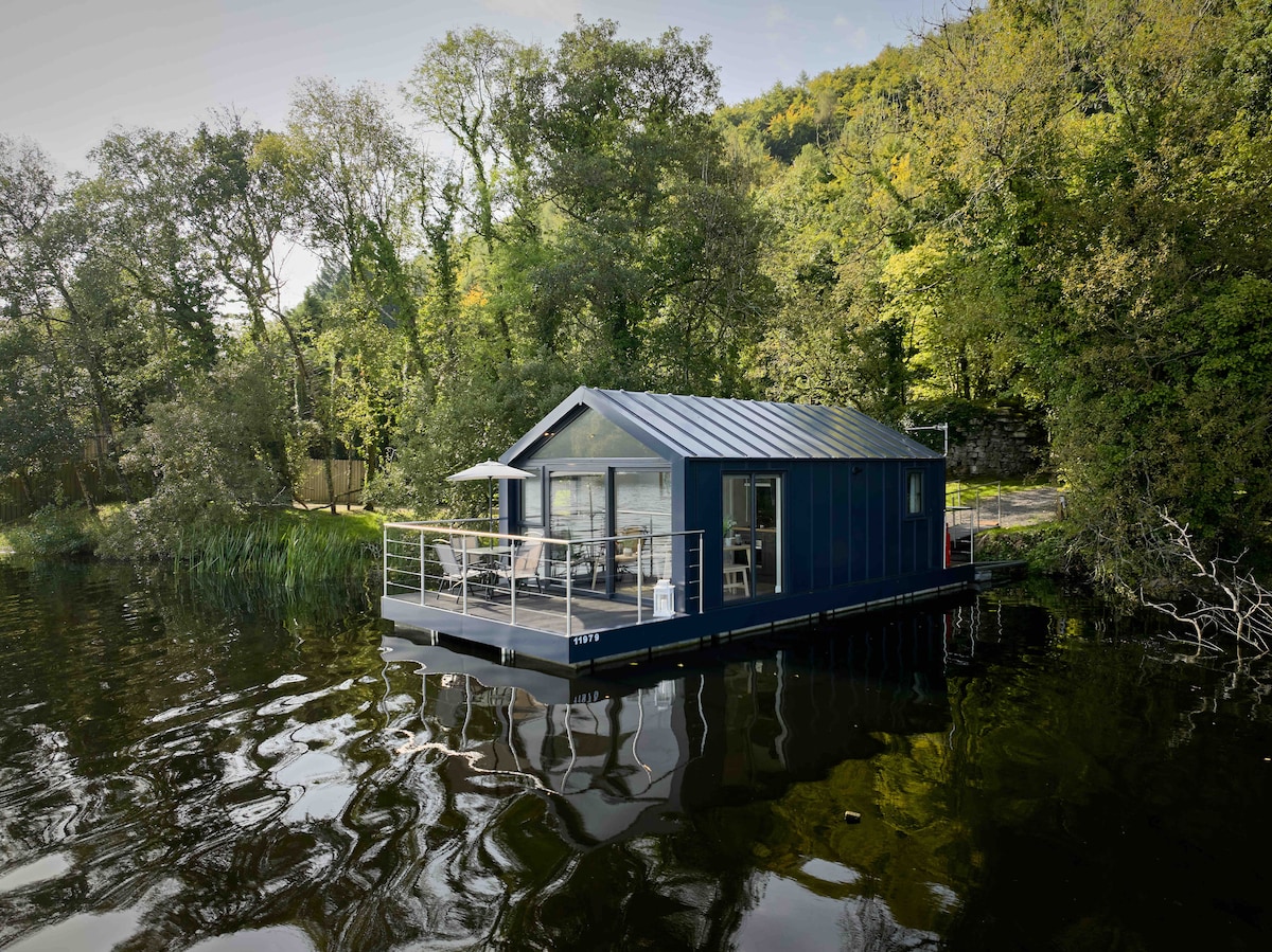 Carrickreagh WoodWood · 4.2 mi