What is recorded here
Situated on top of high ground with good views in all directions. Possible ring-barrow or burial mound situated inside possible hillfort (OF037-009001-). Site consists of a cicrular flat-topped mound (Top diam. 7m; base diam. 15m) with circular depression (Wth 2m; D 0.7m) on top of mound with evidence of stone kerbing around edge of depression.
Compiled by: Caimin O'Brien.
Date of upload: 23 May 2011
Possible Bronze Age ring-barrow or burial mound, located within or adjacent to a hillfort. Its position on high ground suggests a ceremonial or defensive significance, typical of later prehistoric funerary and settlement landscapes.
The monument record does not grant public access. Check the route and ask the landowner before entering private land.
- What survives
- Recorded monument
Places near here
 Hilltop enclosure in LetterHilltop enclosure · 1 yd
 Letter Ho.House, 17th century · 371 yd
 Graveyard in LetterGraveyard · 419 yd
 ToberlugnaHoly well · 490 yd
 Kinnitty ForestForest · 765 yd
 Giant's Grave LoopWalking route · 1293 yd
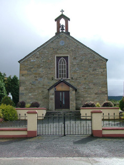 Saint Luna's Catholic Churchchurch/chapel · 1456 yd
 Ballymacadam Castle in ruinsCastle, unclassified · 1652 yd
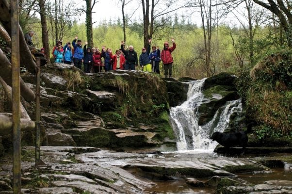 Slieve Bloom WayWalking route · 1.3 mi
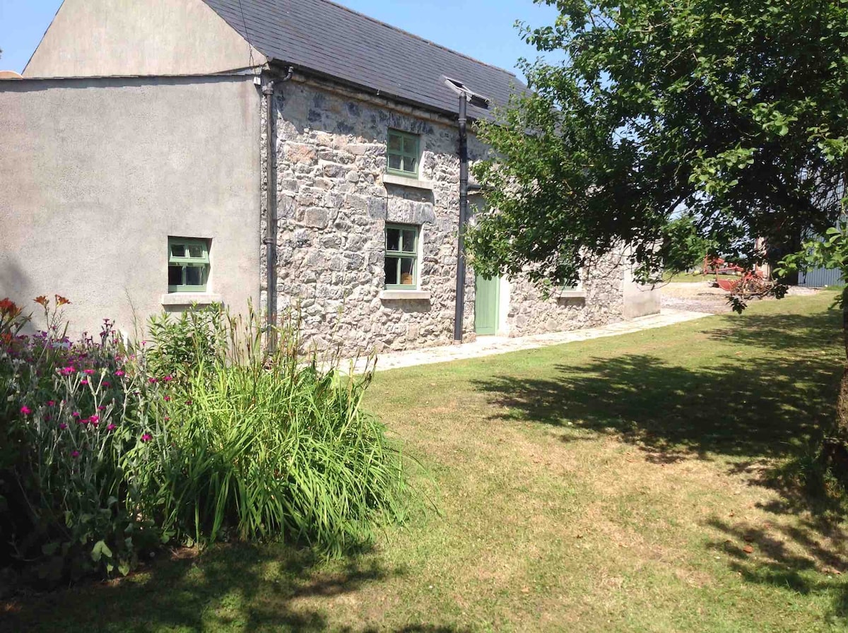 Pigeonstown WoodForest · 1.4 mi
 Castle (Site of)Castle, unclassified · 1.5 mi
 Welcom to GlenreganVisitor information · 1.8 mi