What is recorded here
Knockanush West still hides a small clay mound with raised east and west sides, though no one now knows which field contains it. Mr. McMahon showed the Kerry Field Club the circled burial shape in 1940, and his certainty did more than measurement because he knew the land well enough to reject the usual fort explanation. The mound may have waited patiently for a body, a marker or a forgotten promise. Its disappearance from modern knowledge does not diminish it; it suggests that some places stop belonging to lists and return to the breath of the townland.
The precise location of a possible burial mound in the townland of Knockanush West recorded in the Minute Book of County Kerry Field Club 03/02/1940 (Vol. 1, 80) has not been identified. The Kerry Field Club recorded that they were, 'met by Mr. McMahon of Knockanush West who showed them a small circled mound on his land. This site looks more like a burial than a fort. The west and east sides are raised much higher than the rest and the whole mound is composed of clay and stones'.
Compiled by: Caimin O'Brien
Date of upload: 14 June 2022
The monument record does not grant public access. Check the route and ask the landowner before entering private land.
- What survives
- Recorded monument
Places near here
 Man-made underground passage in Knockanush EastMan-made underground passage · 642 yd
 Field system in Knockanush East,knockanush West,slievenavadogeField system · 740 yd
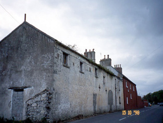 Kent Lodgegates/railings/walls · 1554 yd
 Clogherbrien Church (in ruins)Church · 1.3 mi
 CastleCastle, unclassified · 1.6 mi
 Site of CastleCastle, unclassified · 1.9 mi
 View of WindmillHeritage attraction · 2.4 mi
 Blennerville WindmillHeritage attraction · 2.5 mi
 Tralee Bay Wetlands Eco and Activity ParkNature reserve · 2.9 mi
 Statue of Roger CasementMemorial · 3.0 mi
 15th Centenary of the birth of St-BredanMemorial · 3.0 mi
 Ardfert Franciscan FriaryVisitor information · 3.1 mi