What is recorded here
Collins (1939, 133) noted that 'Close to Murragh are graves marked by pillar stones called by the people the 'graves of the Kings'. The precise location of these burials is not known.
The above description is derived from 'The Archaeological Inventory of County Cork. Volume 5' (Dublin: Stationery Office, 2009).
Date of upload: 22 December 2009
The monument record does not grant public access. Check the route and ask the landowner before entering private land.
- What survives
- Recorded monument
Places near here
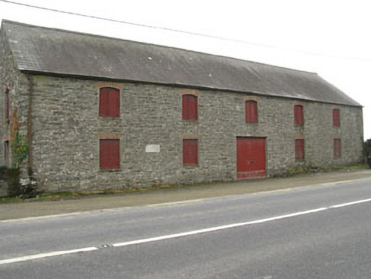 outbuildingoutbuilding · 45 yd
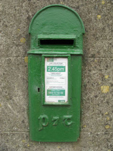 post boxpost box · 78 yd
 Burnt mound in DromavaneBurnt mound · 842 yd
 Holy Well or Murragh WellHoly well · 1017 yd
 Tobar MacloonaboySpring · 2.2 mi
 The GlenWood · 2.6 mi
 Castle DerryCastle · 2.7 mi
 Corran HillMountain / peak · 3.9 mi
 Green HillMountain / peak · 3.9 mi
 Castle RockNamed rock · 4.5 mi
 Towers (in Ruins)House, fortified house · 4.6 mi
 Irish National Forestry FoundationNature reserve · 4.7 mi