What is recorded here
In 1957 a long stone cist emerged in the Moat field, Raheen, holding one body stretched head-west inside mica schist flags. The narrow eastern end and empty hands suggest a quiet burial rather than a grand tomb, yet the precision of its alignment still starts the blood. Someone laid that person down with care, then walked away from a world that no longer needed them.
In 1957 a long stone cist was discovered in a field known as the Moat field, Raheen. This was oriented E-W and defined by mica schist flagstones. (L2.2m; Wth in W 0.50m; Wth in E 0.20m; D 0.30m). This contained an extended inhumation with the head to the W. There were no grave goods associated with this inhumation.
Compiled by: Geraldine Stout and Padraig Clancy.
Revised upload on: 21 April 2018.
A long stone cist, likely dating to the Early Christian or Iron Age period, used for burial. Its construction and orientation provide insight into local funerary practices in the region.
The monument record does not grant public access. Check the route and ask the landowner before entering private land.
- What survives
- Recorded monument
Places near here
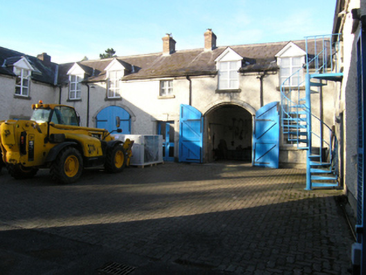 Loughlinstown Housestables · 604 yd
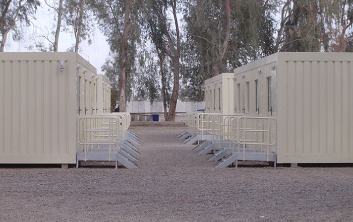 Military camp in LaughanstownMilitary camp · 758 yd
 BarrowBarrow, ring-barrow · 822 yd
 Michael DavittMemorial · 894 yd
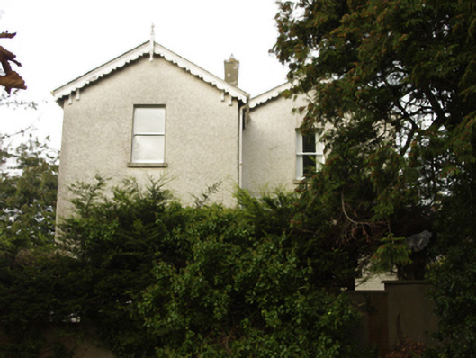 Woodfieldrectory/glebe/vicarage/curate's house · 943 yd
 Loughlinstown WoodsNature reserve · 1057 yd
 Funeral PathVisitor information · 1477 yd
 Shanganagh CastleCastle, tower house · 1540 yd
 Martello Tower No.7 Killiney - Killiney HillFort · 1695 yd
 Cabinteely ParkVisitor information · 1.0 mi
 Proclamation of the Irish RepublicMemorial · 1.1 mi
 Roche's HillNature reserve · 1.1 mi