What is recorded here
Young woman and two children under five lay head-west in a north-south line on the hill crest, dated 1440-1660. Another adult woman, twenty-six to thirty-five years old, lay head-east fifty metres south, cutting through an older grave, also dated 1480-1660. They belonged to the same centuries, perhaps the same household or parish, buried across a short distance on sloping ground beside what is now a road.
Situated at the crest of the S-facing slope of a broad hill, c. 240m NW of the tower house (ME049-002----) and c. 220m N of the medieval excavated features (ME049-035----). Archaeological testing (06E1231) by A. Collins (2008, 18) in advance of the realignment of a N-S section of the R158 road identified archaeological deposits extending over a narrow strip (dims 100m N-S; 17m E-W) on the E side of the existing road that were subsequently excavated (07E0296) as Site 10 by E. Larsson (excavations.ie 2007:1313). Lithics of a Neolithic character and some pits of later prehistoric date are present, while two cereal-drying kilns were also recorded in this era. Two groups of burials, dating to the early medieval and the post-medieval periods were excavated as well as a N-W ditch that is probably an earlier iteration of the existing road bank and ditch. (Larsson 2009)
Three extended supine burials were placed in a N-S line with the heads at W. The W end of one burial was slightly truncated by the post-medieval land drain that accompanies the road. The remains were those of a young female and two children less than five years old. A radiocarbon date of 1440-1660 cal. AD was returned for the adult burial. The burial of an adult female aged 26-35 years at the time of death was placed in the group of early medieval interments c. 50m to the S, truncating one of the earlier graves. This individual was laid E-W with the head at E, and a C14 date of 1480-1660 cal. AD was returned for it, which places it in the same time-frame as the small N group. (ibid. 56-8)
See the attached plan from Larsson (2009, fig. 24)
Compiled by: Michael Moore
Date of upload: 29 June 2021
The monument record does not grant public access. Check the route and ask the landowner before entering private land.
- What survives
- Recorded monument
Places near here
 Church (in Ruins)Church · 1251 yd
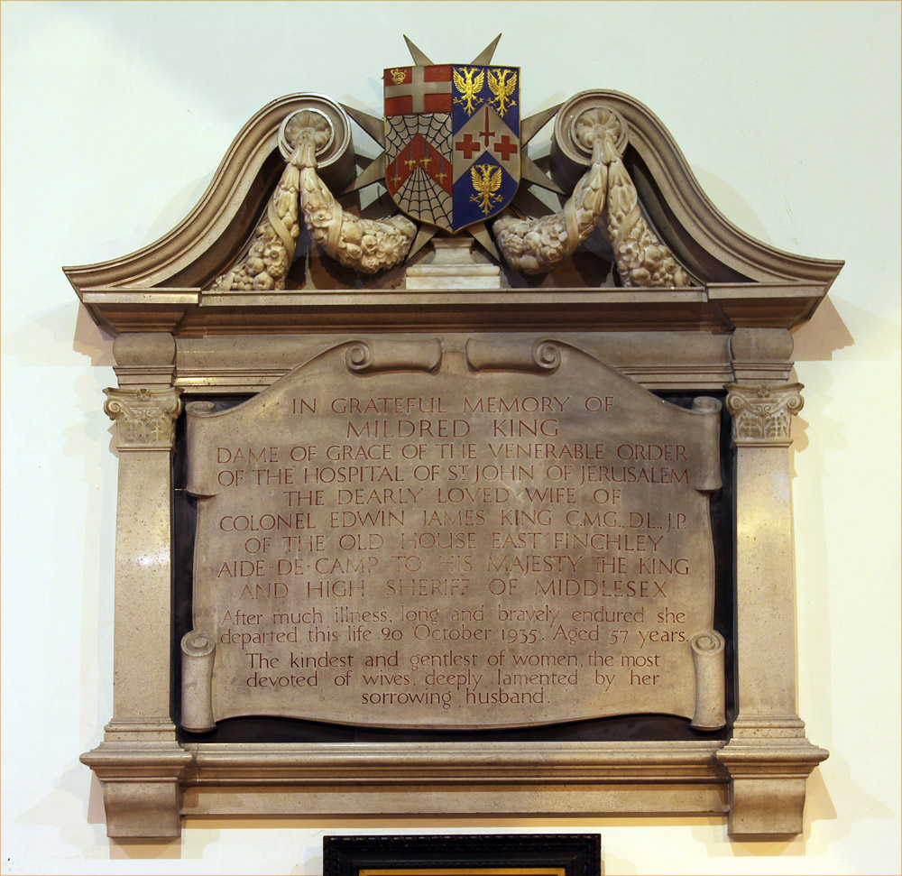 Wall monument in GallowWall monument · 1275 yd
 Ecclesiastical enclosure in DrumlarganEcclesiastical enclosure · 1472 yd
 Kilgar GardensHeritage attraction · 1.2 mi
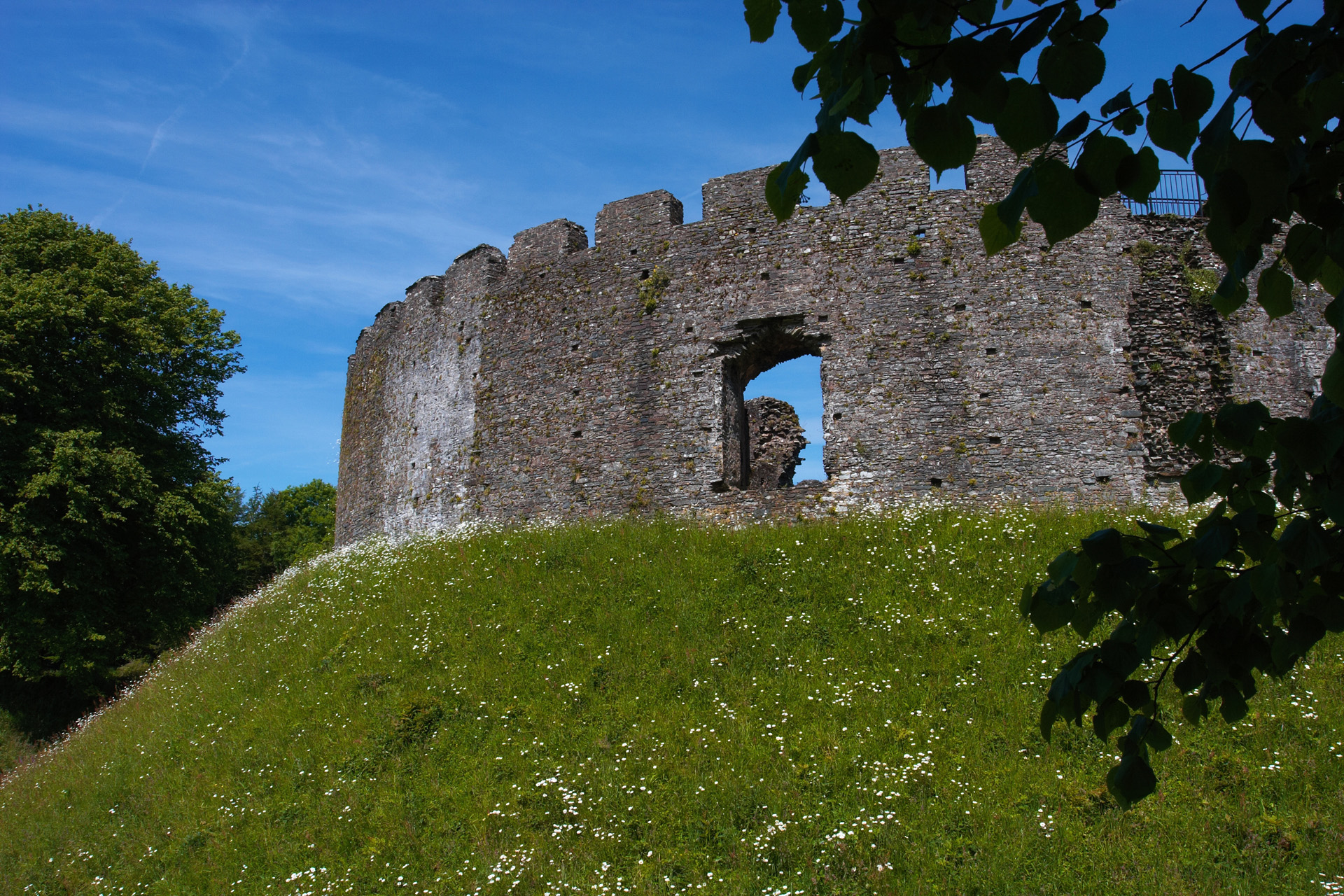 CastleCastle, motte and bailey · 1.6 mi
 Settlement desertedSettlement deserted, medieval · 1.7 mi
 European ashEuropean ash · 2.1 mi
 Larchil Arcadian GardensHeritage attraction · 2.2 mi
 Old Bog Road made famous by Teresa Bryton 1868-1943Memorial · 2.9 mi
 MullaghMountain / peak · 3.1 mi
 Rodanstown fortCastle, motte · 3.4 mi
 1798 MemorialMemorial · 3.7 mi