What is recorded here
Seventeen people lie crammed into a narrow strip on the hillcrest, their bones dating from 410 to 650 AD. They rested in two rows with heads pointing west, some marked by wood traces or a single stone lining. One grave held two young adults stacked together, while scattered crania suggested more bodies joined them in darkness. The compact layout implies urgency or belief that proximity mattered more than space.
Situated at the crest of the S-facing slope of a broad hill, c. 240m NW of the tower house (ME049-002----) and c. 220m N of the medieval excavated features (ME049-035----). Archaeological testing (06E1231) by A. Collins (2008, 18) in advance of the realignment of a N-S section of the R158 road identified archaeological deposits extending over a narrow strip (dims 100m N-S; 17m E-W) on the E side of the existing road that were subsequently excavated (07E0296) as Site 10 by E. Larsson (excavations.ie 2007:1313). Lithics of a Neolithic character and some pits of later prehistoric date are present, while two cereal-drying kilns were also recorded in this era. Two groups of burials, dating to the early medieval and the post-medieval periods were excavated as well as a N-W ditch that is probably an earlier iteration of the existing road bank and ditch. (Larsson 2009)
A group of 17 inhumations was excavated in a fairly confined area (dims c. 9m N-S; 7m plus E-W) but at least three graves extended E beyond the excavated area. The inhumations were extended in a supine posture and oriented W-E or WNW-ESE with the heads at W. The grave-cuts generally respect each other, and the one grave aligned NW-SE was placed neatly between other graves. They formed two rows placed c. 2-5m apart, with seven graves in the W row and four, on a slightly different alignment, in the E. Three graves were fitted in at the S end of the E row, but these graves, although on markedly different alignments, do not infringe other burials. Only one of the graves had a partial stone lining, but two others had traces of wood beneath the human remains. A late medieval burial was inserted through a grave in the E row. Of the identifiable remains four are male and six are female. The age range is generally 15 to 40 years, with one child of less than four and one adult in the 35-49 age-bracket. One grave contained two young adults, one placed over the other. The lower burial lacked the skull, but three crania and other disarticulated bones representing at least four individuals were in the grave-cut. Three of the burials returned C14 dates within the range of 410-650 cal. AD. (ibid. 27-40; Appendix 5)
See the attached plan from Larsson (2009, fig. 27; N at top)
Compiled by: Michael Moore
Date of upload: 29 June 2021
The monument record does not grant public access. Check the route and ask the landowner before entering private land.
- What survives
- Recorded monument
Places near here
 Church (in Ruins)Church · 1182 yd
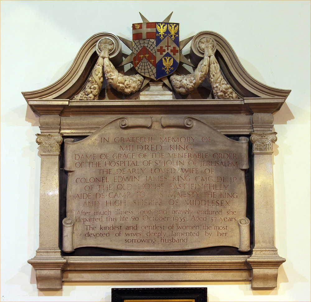 Wall monument in GallowWall monument · 1206 yd
 Ecclesiastical enclosure in DrumlarganEcclesiastical enclosure · 1542 yd
 Kilgar GardensHeritage attraction · 1.2 mi
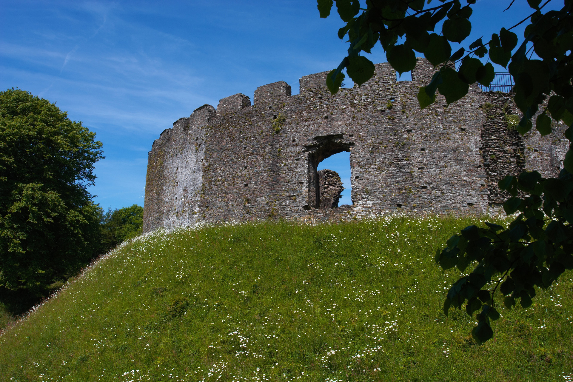 CastleCastle, motte and bailey · 1.6 mi
 Settlement desertedSettlement deserted, medieval · 1.7 mi
 European ashEuropean ash · 2.1 mi
 Larchil Arcadian GardensHeritage attraction · 2.2 mi
 Old Bog Road made famous by Teresa Bryton 1868-1943Memorial · 2.9 mi
 MullaghMountain / peak · 3.1 mi
 Rodanstown fortCastle, motte · 3.4 mi
 1798 MemorialMemorial · 3.7 mi