
What is recorded here
Excavations in 2007 under licence no. 07E0558 by Ross MacLeod were summarised as following; 'Topsoil-stripping at the proposed new Limerick County Council housing development in Bruff, Co. Limerick, revealed two areas of archaeological interest. The first area was a series of intercutting pits, typically sub-oval in shape, averaging 0.8m long by 0.7m wide with a depth of 0.4m and a dark blackish-brown sandy silt fill. Located further to the north the second area contained a ring-barrow with an internal diameter of c. 10m and a 2.74m-wide, 0.59m-deep ditch. Two token cremation burials were located within the barrow' (www.excavations.ie).
The monument record does not grant public access. Check the route and ask the landowner before entering private land.
- What survives
- Recorded monument
Places near here
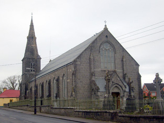 Catholic Church of Saint Peter and Saint Paulchurch/chapel · 382 yd
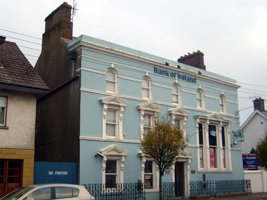 Bank of Irelandbank/financial institution · 384 yd
 Settlement cluster in BruffSettlement cluster · 435 yd
 Castle (in ruins)Castle, unclassified · 684 yd
 Burial GroundGraveyard · 740 yd
 Ballygrennan Castle (in ruins)Castle, tower house · 1524 yd
 Glen BogForest · 1.8 mi
 Grange Stone CircleArchaeological place · 2.5 mi
 KnockainyMountain / peak · 2.8 mi
 Flat cemetery in Knockainy WestFlat cemetery · 3.7 mi
 St Patrick's WellSpring · 6.7 mi
 Edmund's WellSpring · 7.2 mi
Other information
Photo: Credit not shown in the picture search · Rights wording not checked; contact us if this picture should be removed