What is recorded here
Reference to a large quantity of human remains found in a field not far from Ballymaddock Castle (LA013-070----); thought to represent a battle site (O'Hanlon and O'Leary 1907, vol. 1, 276). Unlocated cairn (LA013-070001-) containing human burials within townland, described by Roe as a carn containing human bones, now destroyed which were burnt by the local youths in the May first (H. Roe, A record of archaeological discovery, 3). Described in the 'History of Queens County' as in an adjoining field to a rath in Ballymaddock there is 'a sort of elevation, having some disjointed stones on the summit, is to be seen, and around the cone, in a very regular circle, the grass always partakes of a similar dark colour, about the months of June and July. This is thought to have been a place of interment, and the upper surface somewhat resembles a dilapidated cairn.' (O'Hanlon and O'Leary 1907, p. 276). (Sweetman et al. 1995, no. 891, p. 100)
Compiled by: Caimin O'Brien
Date of upload: 17 December 2007
This remains an important historical record, but the official description says the monument is no longer visible or has been destroyed. The monument record does not grant public access. Check the route and ask the landowner before entering private land.
- What survives
- No visible remains or recorded as destroyed
Places near here
 Enclosure in Ballymaddock (stradbally By.)Enclosure · 59 yd
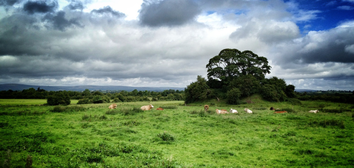 Bawn in Ballymaddock (stradbally By.)Bawn · 349 yd
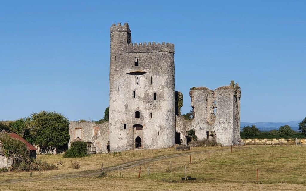 CastleCastle, unclassified · 433 yd
 Enclosure in Carrigeen (stradbally By., Kilmurry Ed)Enclosure · 996 yd
 Kilteale Church (in Ruins)Church · 1520 yd
 Church (in Ruins)Church · 1.4 mi
 Rock of Dunamase InformationVisitor information · 1.4 mi
 Rock of DunamaseCastle · 1.5 mi
 European BeechEuropean Beech · 2.2 mi
 Pedunculate OakPedunculate Oak · 2.4 mi
 CEMETERYGraveyard · 2.9 mi
 Oughaval Wood MapVisitor information · 3.3 mi