What is recorded here
Erosion on the esker exposed the bones in 1964, pulling a forgotten person from the soil after centuries of concealment. The body lay east to west near the summit, stripped of every marker, vessel or stone that might have identified who they were or when they died. The land kept the secret while the water removed the patience needed to forget it.
In 1964 portions of an inhumation burial were exposed following the erosion of an esker. The burial was found close to the summit of the natural rise. It was oriented E-W. There was no evidence of associated artefacts or grave structure in the vicinity (NMI, Cahill & Sikora 2011, vol 2,500).
Compiled by: Geraldine Stout
Date of upload: 14 March 2013
A Neolithic inhumation burial, dating to approximately 4000–2500 BCE, associated with early funerary practices in the region. Its orientation and location on an esker suggest ritual significance and connection to the natural landscape.
The monument record does not grant public access. Check the route and ask the landowner before entering private land.
- What survives
- Recorded monument
Places near here
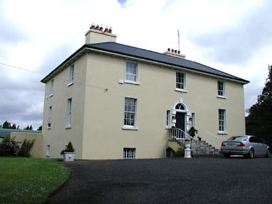 Glebe Houserectory/glebe/vicarage/curate's house · 215 yd
 post boxpost box · 619 yd
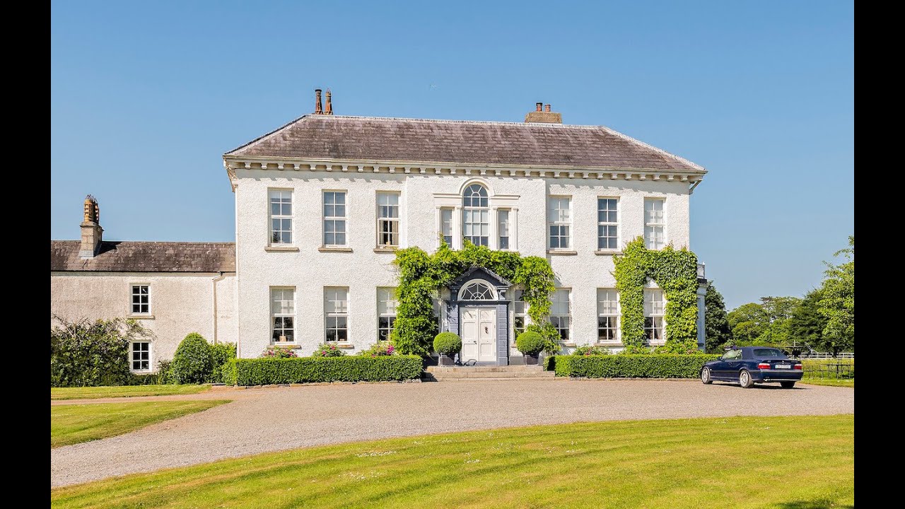 Concentric enclosure in Anneville or Clonard OldConcentric enclosure · 694 yd
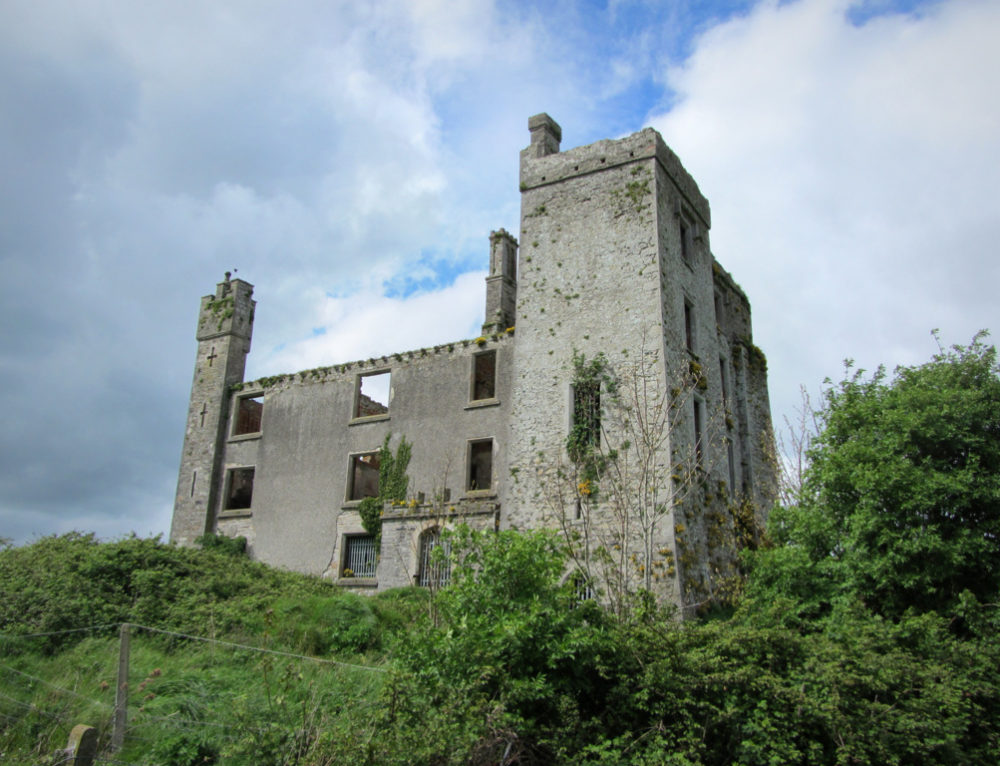 CastleCastle, ringwork · 744 yd
 Site of AbbeyChurch · 776 yd
 Abandoned Kinnegad CanalWood · 1061 yd
 Croppies' GraveMemorial · 1.4 mi
 Queen Marys CastleCastle, tower house · 2.1 mi
 European BeechEuropean Beech · 3.8 mi
 Cloncurry GraveyardHeritage attraction · 9.3 mi
 The Grill ShackHeritage attraction · 11 mi
 John McLaughlinMemorial · 21 mi