What is recorded here
Calluragh Chapel still stands beside a buried graveyard in County Galway, its name hinting that children may have slept beneath the thorns. Dense briars and broken stones mark the edge of pastureland, preserving a quiet tragedy the land never finished forgetting.
In pastureland and scrubland. Indicated on the 1920 edition of the OS 6-inch map as an irregularly shaped graveyard (c. 61m NW-SE; c. 33m NE-SW) which extended immediately to the E and N of a chapel (GA122-119----). It is densely overgrown with almost impenetrable thorn trees and briars. Some graveslabs (L 1.1m; Wth 0.5m) as well as upright and collapsed headstones were noted in the N sector. The latter were roughly hewn, apart from one (H 0.36m; Wth 0.34m) which was inscribed with the letters I and H; there was also a small Latin cross between the letters. The adjoining chapel is named 'Calluragh Chapel' on the OS 6-inch maps, suggesting that this may be a children's burial ground.
Compiled by: Galway Archaeological Survey, UCG
Date of upload: 30 March 2020
The monument record does not grant public access. Check the route and ask the landowner before entering private land.
- What survives
- Recorded monument
Places near here
 Calluragh Chapel (in ruins)Church · 19 yd
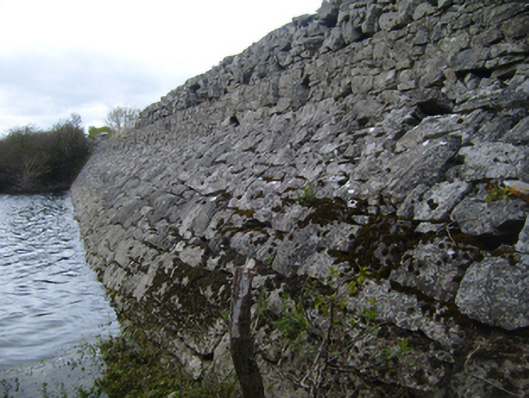 road (section of)road (section of) · 127 yd
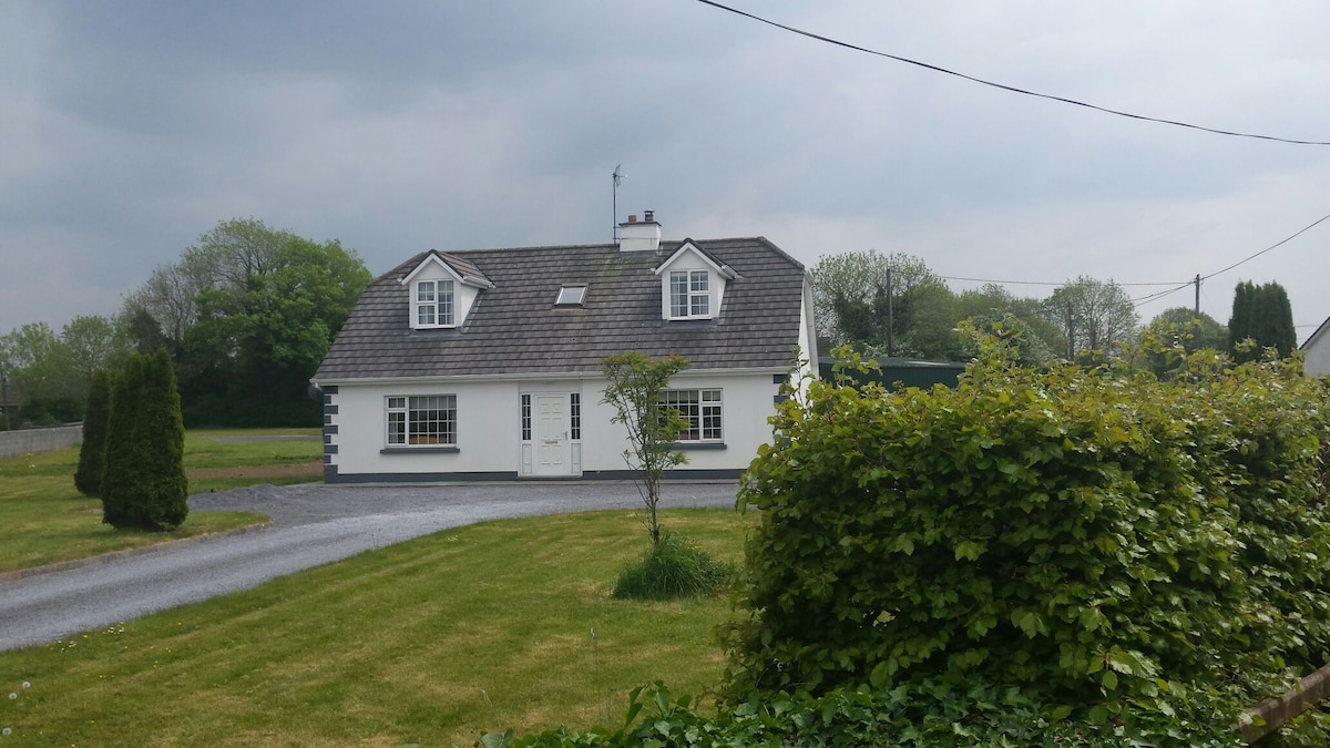 Bawn in Castlequarter (kiltartan By.)Bawn · 583 yd
 Man-made underground passage in BallylennanMan-made underground passage · 1253 yd
 Hilltop enclosure in DrumminacloghaunHilltop enclosure · 1259 yd
 Coole-Garryland Nature ReserveNature reserve · 1.5 mi
 Cavalry Bks on Site of Gort CastleCastle, unclassified · 1.5 mi
 Holm OakHolm Oak · 1.8 mi
 Kilmacduagh Monastic SiteVisitor information · 1.8 mi
 Kilmacduagh MonasteryHeritage attraction · 1.9 mi
 Castle IslandIsland · 3.4 mi
 Swan IslandIsland · 3.7 mi