What is recorded here
Present remains consist of a rectangular church (TN020-028001-) standing in N quadrant of rectangular-shaped graveyard (dims. c. 85m N-S x 70m E-W) enclosed by a post-1700 stone wall with entrance gate at NW corner. Graveyard contains eighteenth and nineteenth-century headstones, with pedestrian gate in centre of N wall. There are no surface remains visible today of the church building depicted to the W of the medieval church ruins on the 1901 ed. OSi 25-inch map. The footprint of this building is now outlined by the lack of graveplots in this area visible on aerial photograph of the graveyard. A sixteenth-century graveslab (TN020-028003-) decorated with tudor rosettes possibly associated with the Butler family lies on the ground adjacent to the S door on the E side of the church ruins.
Compiled and revised by: Caimin O'Brien.
Date of revised upload: 3 August 2022
The monument record does not grant public access. Check the route and ask the landowner before entering private land.
- What survives
- Recorded monument
Places near here
 Church, (Site of) ChurchChurch · 32 yd
 Saint Mary's Catholic Churchchurch/chapel · 894 yd
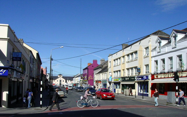 Hogans PassBridge · 1511 yd
 Richmond Ho.House, fortified house · 1.1 mi
 Castle (in ruins)Castle, tower house · 1.2 mi
 Enclosure in TullamoreEnclosure · 1.2 mi
 Blessed WellNature reserve · 2.3 mi
 Nenagh Heritage CentreMuseum · 2.6 mi
 Old BarracksHeritage attraction · 2.7 mi
 Knigh HillMountain / peak · 2.9 mi
 Mass RockNamed rock · 3.3 mi
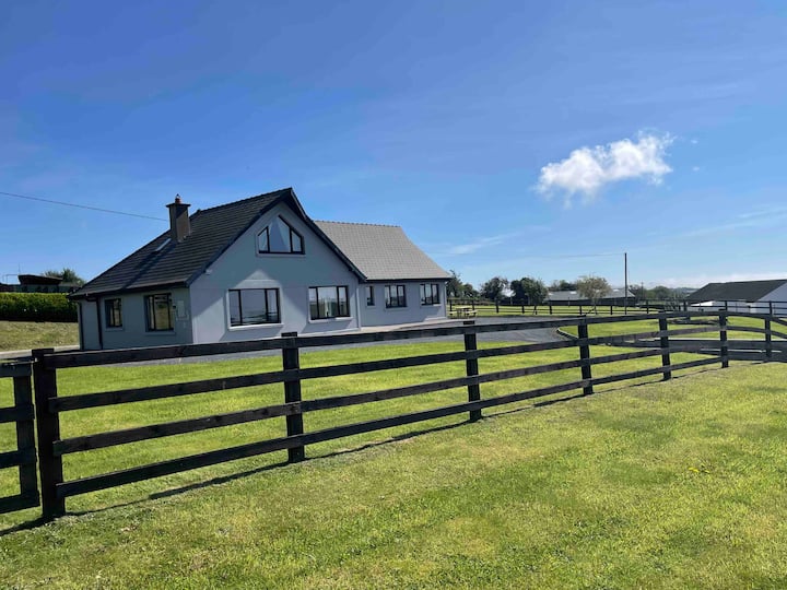 Youghal BayBay · 3.3 mi