What is recorded here
Dysert O’Dea is a Romanesque church, round tower and graveyard on a slight Clare rise, with the high cross of St Tola standing a hundred metres east. The stone wall still marks a narrow rectangular field where people have buried their dead beside old sacred buildings. Higher ground looms to the west, watching the place like a silent neighbour.
Situated on a slight rise in a low-lying area, overlooked by higher ground to the W. A subrectangular graveyard (62m N-S; 35m E-W) defined by a masonry wall (H up to 1.4m). Dysert O’Dea Romanesque church (CL025-091001-) and round tower (CL026-091003-) lie in the N portion. The high cross of St Tola (CL025-094----) lies c. 100m to the E.
Compiled by: Mary Tunney
Date of upload: 21 June 2017
The monument record does not grant public access. Check the route and ask the landowner before entering private land.
- What survives
- Recorded monument
Places near here
 Dysert Church (in ruins)Church · 24 yd
 Wall monument in MollaneenWall monument · 30 yd
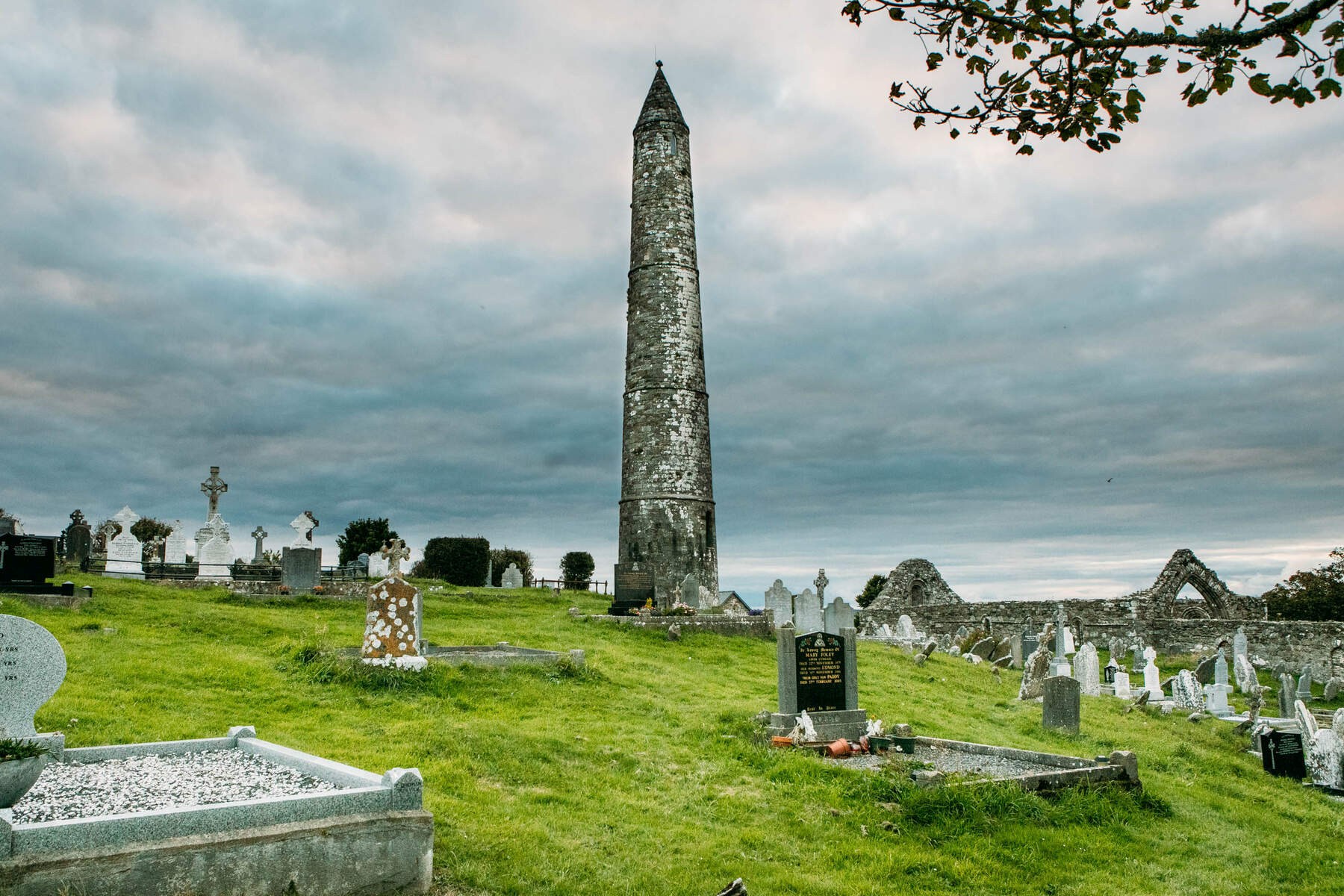 Cloigtheach Round TowerRound tower · 33 yd
 St. Tolas CrossCross, High cross · 153 yd
 O'Dea CastleCastle · 324 yd
 Bawn in Dysert (inchiquin By.)Bawn · 332 yd
 Ballygriffy WoodWood · 2.8 mi
 Battle of TullyodeaBattlefield · 3.0 mi
 Rock IslandIsland · 3.0 mi
 Inchiquin IslandIslet · 3.1 mi
 Ardcarney WoodWood · 3.6 mi
 Fergus River CaveCave · 5.0 mi