What is recorded here
Burial Area: This area, which measures approximately 12m N-S x 6m E-W, is located E of the leacht (KE087-033004-). It comprises three very regular rows of E-W grave-mounds, raised .3m on average above surrounding ground level. The ends of each row are marked by upright slabs. A number of low subcircular mounds occur adjacent to this area. The OSNB notes that 'children and adult strangers' were buried at this site (Killemlagh, 4).
The above description is derived from O'Sullivan, A. and Sheehan, J. (compilers) 'The Iveragh peninsula: an archaeological survey of South Kerry'. Cork University press. (1996), no. 966. In certain instances the entries have been revised and updated in the light of recent research.
Date of upload: 13 June 2013
The monument record does not grant public access. Check the route and ask the landowner before entering private land.
- What survives
- Recorded monument
Places near here
 Church in Long IslandChurch · 10 yd
 Horse IslandIslet · 279 yd
 Long IslandIslet · 306 yd
 Doon PointPromontory fort, coastal · 414 yd
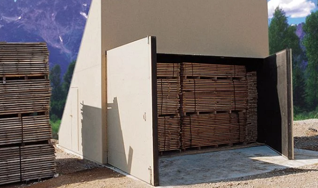 KilnKiln, corn-drying · 1097 yd
 Enclosure in BrayEnclosure · 1193 yd
 Telegraph Field Valentia IslandMemorial · 1683 yd
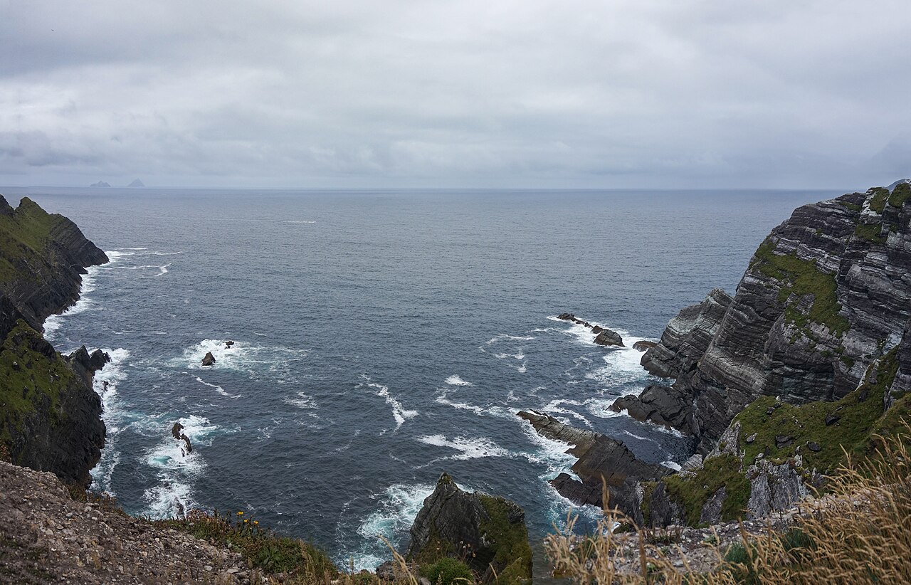 Kerry CliffsHeritage attraction · 1.0 mi
 Kerry Cliffs ExperienceHeritage attraction · 1.0 mi
 Sean LochaCliff · 1.9 mi
 Tobairin Holy WellSpring · 1.9 mi
 Tráigh na SplinceBeach / strand · 1.9 mi