What is recorded here
In level grassland. Marked on OS 6-inch maps as small rectangular field (L c. 55m, Wth c. 35m): or 3rd ed. (1931), the NW boundary is shown only by a broken line. What survives is an irregular area delimited by a field wall along NE side but unenclosed elsewhere. Numerous small set stones are visible indicating graves aligned NW-SE. Probably a CBG.
The above description is derived from the published 'Archaeological Inventory of County Galway Vol. II - North Galway'. Compiled by Olive Alcock, Kathy de hÓra and Paul Gosling (Dublin: Stationery Office, 1999).
Date of upload: 05 August 2010
The monument record does not grant public access. Check the route and ask the landowner before entering private land.
- What survives
- Recorded monument
Places near here
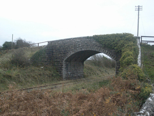 bridgebridge · 485 yd
 Castle FrenchCastle, unclassified · 1292 yd
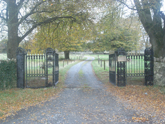 Crumlin Park Housegate lodge · 1523 yd
 SycamoreSycamore · 1.0 mi
 Common WhitebeamCommon Whitebeam · 1.1 mi
 CahermoreHillfort · 1.2 mi
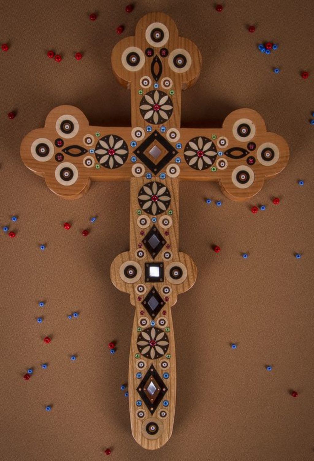 Wooden CrossCross, Market cross · 1.4 mi
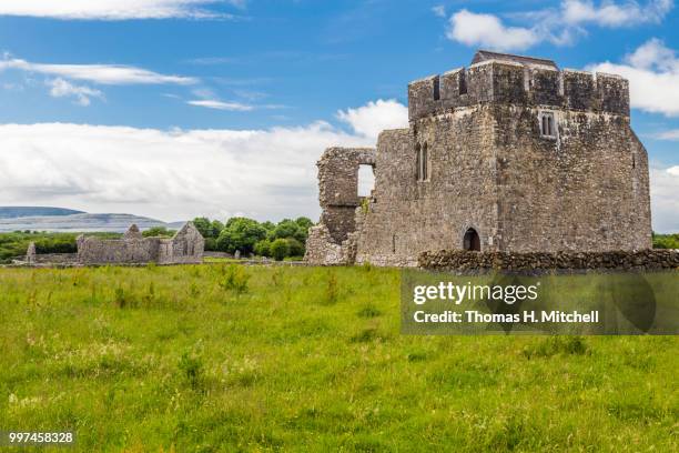 Kilskeagh castleCastle · 1.8 mi
 Knockmoy AbbeyHeritage attraction · 4.2 mi
 Mass RockNamed rock · 12 mi
 Royal Tara Visitor CentreHeritage attraction · 12 mi
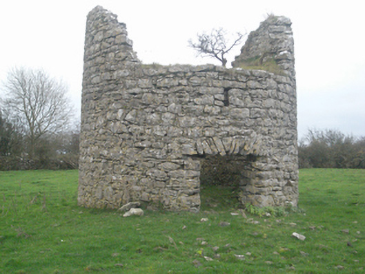 mill (wind)mill (wind) · 1560 yd