What is recorded here
Half-hidden behind a mortared stone wall on a grassy slope in County Galway, the burial ground has swallowed generations since the 1830s. Its eastern half stretched wider by 1932, suggesting the living needed more room for their dead. Small uninscribed stones and crude crosses still mark the older western section, waiting for names that time has forgotten.
On a SW-facing slope in grassland, immediately to the W of a N-S running road. Named ‘Burial Ground’ on the 1838 edition of the OS 6-inch map and depicted as a roughly square tree-lined enclosure (c. 57m NW-SE; c. 55m NE-SW). Its E half was considerably extended by the time of the 1932 edition (c. 95m NW-SE; c. 86m E-W). The burial ground is enclosed by a mortared stone wall; access is gained through a gateway at E. Most of the headstones and graveslabs date to the 19th and 20th centuries. On initial inspection in October 1984, numerous small uninscribed set stones were visible in the older W section as well as two crudely cut crosses (see GA016-063003- and GA016-063004-). FitzPatrick (2019, 28) noted the wall-footings of a possible building (GA106-063005-) in this area in 2019 and has suggested that it could be the site of the medieval church of Kilcloony and not the building (see GA016-061----) designated as such on the OS maps. (Alcock et al. 1999, 313)
Compiled by: Olive Alcock
Date of upload: 7 December 2022
The monument record does not grant public access. Check the route and ask the landowner before entering private land.
- What survives
- Recorded monument
Places near here
 Cross in Kilcloony (dunmore By.)Cross · 2 yd
 Bawn in Kilcloony (dunmore By.)Bawn · 504 yd
 Enclosure in Kilcloony (clonmacnowen By.),quarrymountEnclosure · 646 yd
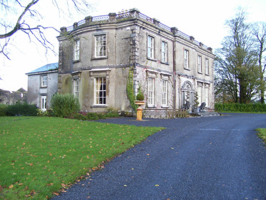 Quarrymount Househouse · 891 yd
 IndicatedHouse, indeterminate date · 1.6 mi
 Site of Doonbally CastleCastle, unclassified · 1.9 mi
 European ashEuropean ash · 3.7 mi
 Mass RockNamed rock · 5.2 mi
 KnockmaaWood · 8.6 mi
 Oileán an AoilIsland · 17 mi
 Otter IslandIslet · 17 mi
 Field system in Clashaganny (dunmore By.),kilphrasogaField system · 892 yd