What is recorded here
Twenty-two years of fence clearance erased the Kill burial ground, but three Ordnance Survey maps from 1842 to 1940 still trace its thirty-by-twenty-five metre rectangle beside the Church of Ireland church. Local memory called it a graveyard long before machinery removed the last visible mark, while the nearby RC chapel kept its own walled grave yard with headstones spanning the 18th to 20th centuries. One small parish therefore carried two layers of death: a forgotten field swallowed by progress and a standing churchyard where names still catch the light.
This is a graveyard associated with the RC Chapel (CO096-064001-). It is a rectangular graveyard enclosed by a high stone wall on its S side and by an earthen bank elsewhere. It contains 18th-20th century headstones.
The above description is derived from the published 'Archaeological Inventory of County Cork. Volume 1: West Cork' (Dublin: Stationery Office, 1992). In certain instances the entries have been revised and updated in the light of recent research.
Date of upload/revision: 14 January 2009
The monument record does not grant public access. Check the route and ask the landowner before entering private land.
- What survives
- Recorded monument
Places near here
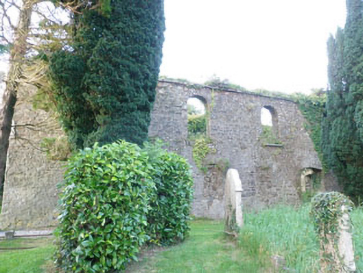 Kilbrogan Catholic Chapelchurch/chapel · 31 yd
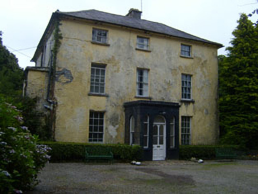 Mount Grellan Houserectory/glebe/vicarage/curate's house · 228 yd
 CrossCross, Market cross · 1126 yd
 Bandon War MemorialMemorial · 1333 yd
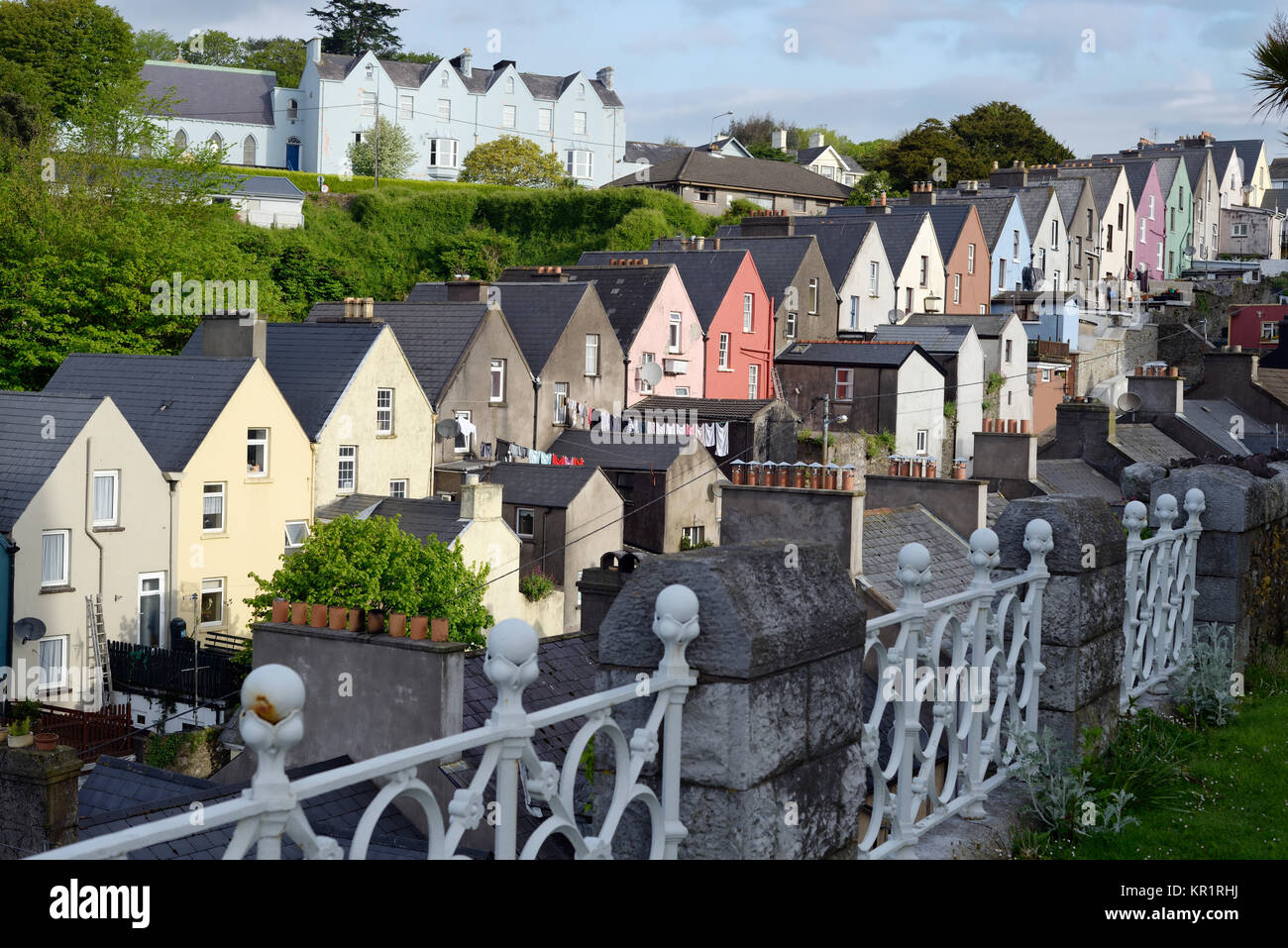 Town defences in GullyTown defences · 1414 yd
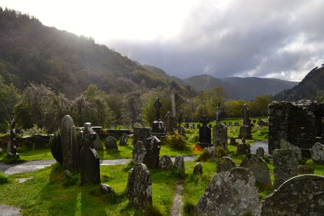 Graveyard in GullyGraveyard · 1570 yd
 Carbury's WellSpring · 1.5 mi
 Roche's WoodWood · 1.7 mi
 Cottage Road WoodWood · 2.1 mi
 Carrighnassig Castle (Site of)Castle, unclassified · 4.5 mi
 Marie LouiseWreck · 4.5 mi
 Towers (in Ruins)House, fortified house · 4.6 mi