What is recorded here
Rathnageeragh holds a triangular burial ground where birch and hawthorn still mark the quiet work of loss. The stream on the west, the road on the east and the field boundary below give the place its shape, while the trees preserve what older hands may have set aside. Helen Carroll carried the local name into wider knowledge, and that much is enough to keep the dead recognised.
Known locally as a burial ground and reported by Helen Carroll. A triangular area (max. L c. 60m NE-SW; c. 40m NW-SE) tapering to a point in the NE. It is enclosed on the W by a stream which also forms the townland boundary with Drumfea townland, on the E by a public road and to the S by a field boundary. The area is occupied by birch and hawthorn trees. The location is typical for unconsecrated burial grounds.
Compiled by: Jean Farrelly
Date of upload: 14 August 2019
The monument record does not grant public access. Check the route and ask the landowner before entering private land.
- What survives
- Recorded monument
Places near here
 Rathnageeragh Castle (in ruins)Castle, unclassified · 1030 yd
 Cross in DrumfeaCross · 1101 yd
 Font in DrumfeaFont · 1126 yd
 Saint Laserian's Catholic Churchchurch/chapel · 1160 yd
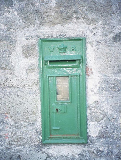 post boxpost box · 1170 yd
 Sessile OakSessile Oak · 1.3 mi
 CastleCastle, unclassified · 1.3 mi
 SlievebawnMountain / peak · 1.9 mi
 SycamoreSycamore · 2.2 mi
 CroaghaunMountain / peak · 2.4 mi
 Irish Hangliding and Paragliding AssociationMemorial · 3.7 mi
 Mount LeinsterMountain · 3.8 mi