What is recorded here
Located c. 1km SE of Tobercurry. There is a local tradition of human burials in the NE corner of the field though no information on the likely date of these is known. A slightly raised roughly circular area (diam. c. 15m), topped with some scattered limestone boulders, is evident in the N half of the field. A further scatter of limestone boulders is in the extreme NW corner of the field.
The above description is derived from the published 'Archaeological Inventory of County Sligo' compiled by Ursula Egan, Elizabeth Byrne, Mary Sleeman with Sheila Ronan and Connie Murphy (Dublin Stationery Office, 2005).
Date of upload: 18 January 2008
The monument record does not grant public access. Check the route and ask the landowner before entering private land.
- What survives
- Recorded monument
Places near here
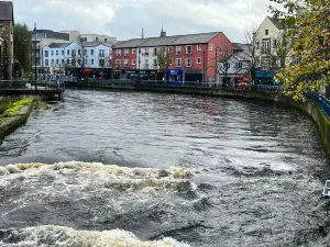 IndicatedFairy fort / stone ringfort · 509 yd
 Indicated (1838).Fairy fort / earthen ringfort · 557 yd
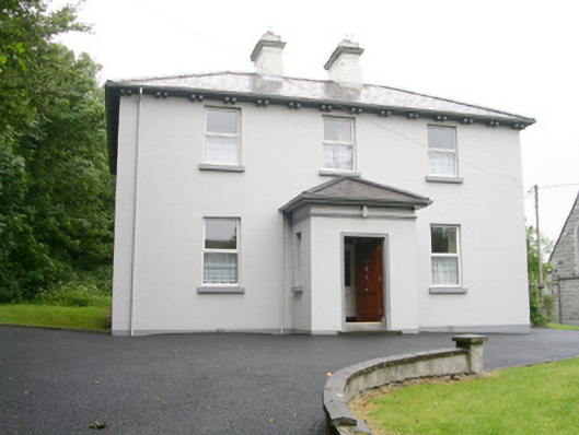 Catholic Church of Saint John the Evangelistpresbytery/parochial/curate's house · 817 yd
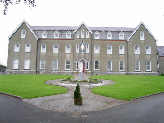 Saint Joseph's Conventconvent/nunnery · 911 yd
 CastleCastle, unclassified · 1.4 mi
 Ballyara Castle (in Ruins)Castle, unclassified · 1.8 mi
 Muckelty HillMountain / peak · 2.4 mi
 Old Cave Burial GroundArchaeological place · 4.4 mi
 Tymon's HillMountain / peak · 4.5 mi
 Tawnyart WoodWood · 5.3 mi
 New WoodWood · 5.7 mi
 Lough Talt TrailVisitor information · 8.4 mi