What is recorded here
Ten skeletons lay hidden beneath the walled garden behind the Convent of Mercy in Naas, buried shallow enough that a spade might have brushed them before the church rose. They faced south, spaced a metre apart like sleepers waiting for a call no one remembered making. The convent was built in the 1820s and 1830s, perhaps lifting soil from this very ground to carry its walls upward. Whatever lives above forgets, but the earth holds its distance and keeps its own count.
Archaeological testing (Licence no. 03E1707: www.excavations.ie) was carried out in the walled garden to the rear of the Convent of Mercy in Sallins Road, Naas. Ten skeletons, a much degraded wall feature and an area of clay and red brick (possibly dump material) were uncovered. The skeletal remains were quite widely dispersed, averaging 1m apart and appearing to be only one layer deep. They were buried at a depth of 0.6-0.8m. All were aligned north-northeast/south-southwest, with the head at the southern end. Wood staining was noted around the perimeter of Burial No. 1 and an iron nail was uncovered close to the skull. The wood staining is probably associated with the remains of a coffin. As this was archaeological testing, the full extent of any of the bodies was not exposed. There were no archaeological remains uncovered in the northern portion of the garden. Two trenches were also excavated to the front of the convent and to the north of the church. There was nothing of archaeological significance uncovered in this area. The stratigraphy revealed layers of backfill and redeposited material possibly associated with the construction of the church and convent in the 1820s and 1830s.
Compiled by: Gearóid Conroy
Date of upload: 10 June 2011
The monument record does not grant public access. Check the route and ask the landowner before entering private land.
- What survives
- Recorded monument
Places near here
 Catholic Church of Our Lady and Saint Davidchurch/chapel · 56 yd
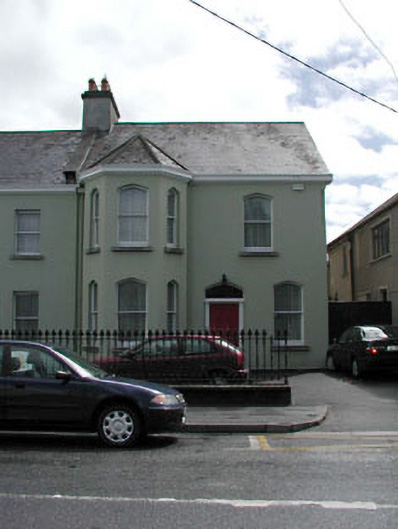 presbytery/parochial/curate's housepresbytery/parochial/curate's house · 144 yd
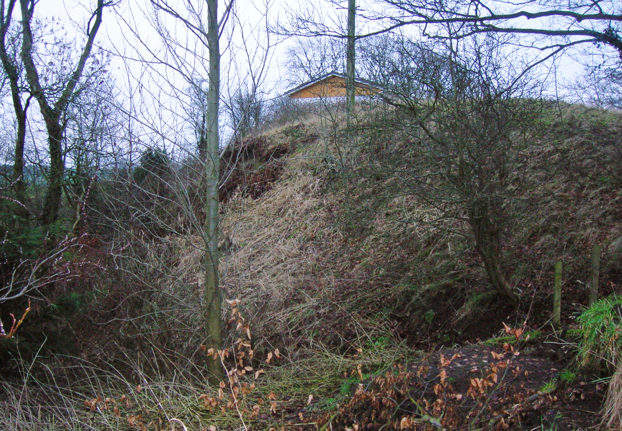 North MoteArchaeological place · 173 yd
 Poplar SquarePicnic place · 184 yd
 Site of Black CastleCastle, unclassified · 186 yd
 Font in Naas WestFont · 193 yd
 Site of Eustace CastleCastle, tower house · 245 yd
 Monread District Park WoodsWood · 1441 yd
 Naas ParkWood · 1602 yd
 Museum of MotorsportMuseum · 4.2 mi
 Cupidstown HillMountain / peak · 7.0 mi
 Athgoe HillMountain / peak · 7.8 mi